 |
New York 365 (Oneida to Wilmurt, 1932-Present) |
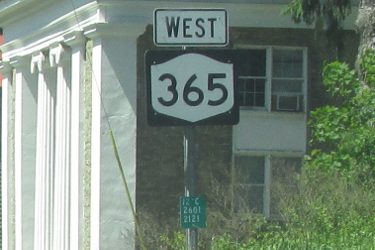
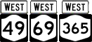
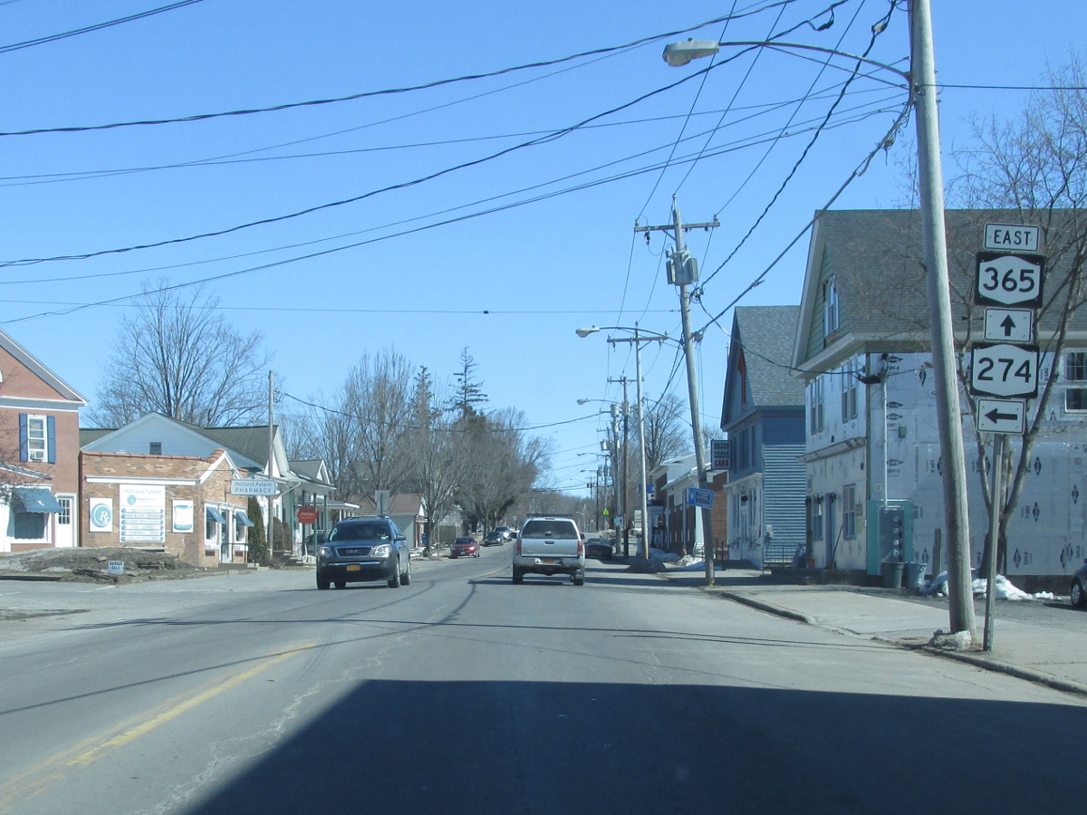
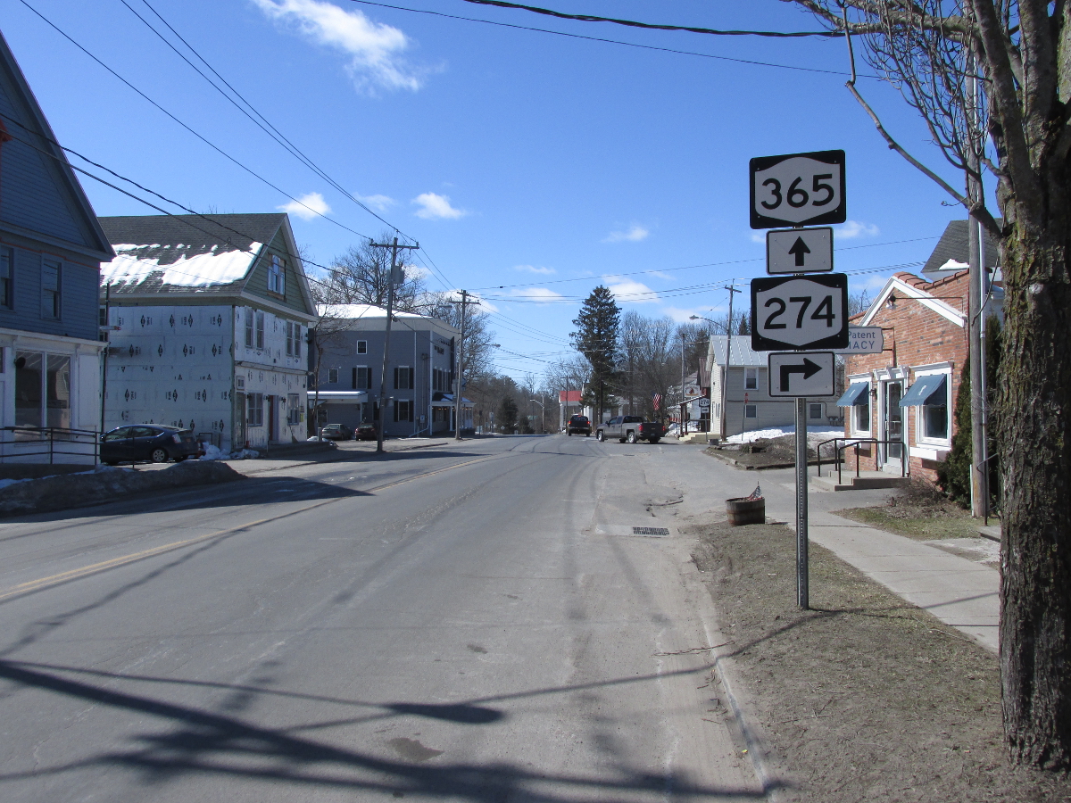
NY 365 reassurance marker in Holland Patent.
|
About |
Junction List |
Photos/Videos |
Links
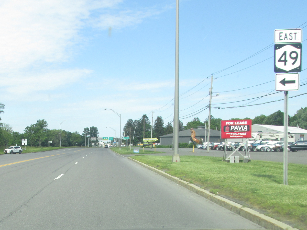
| Western Terminus: | NY 5, Oneida |
| Eastern Terminus: | NY 8, Wilmurt |
| Length: | 44.41 miles (71.50 km) |
| Orientation: | East-West |
| Counties: | Oneida, Herkimer |
| Cities: | Oneida, Rome |
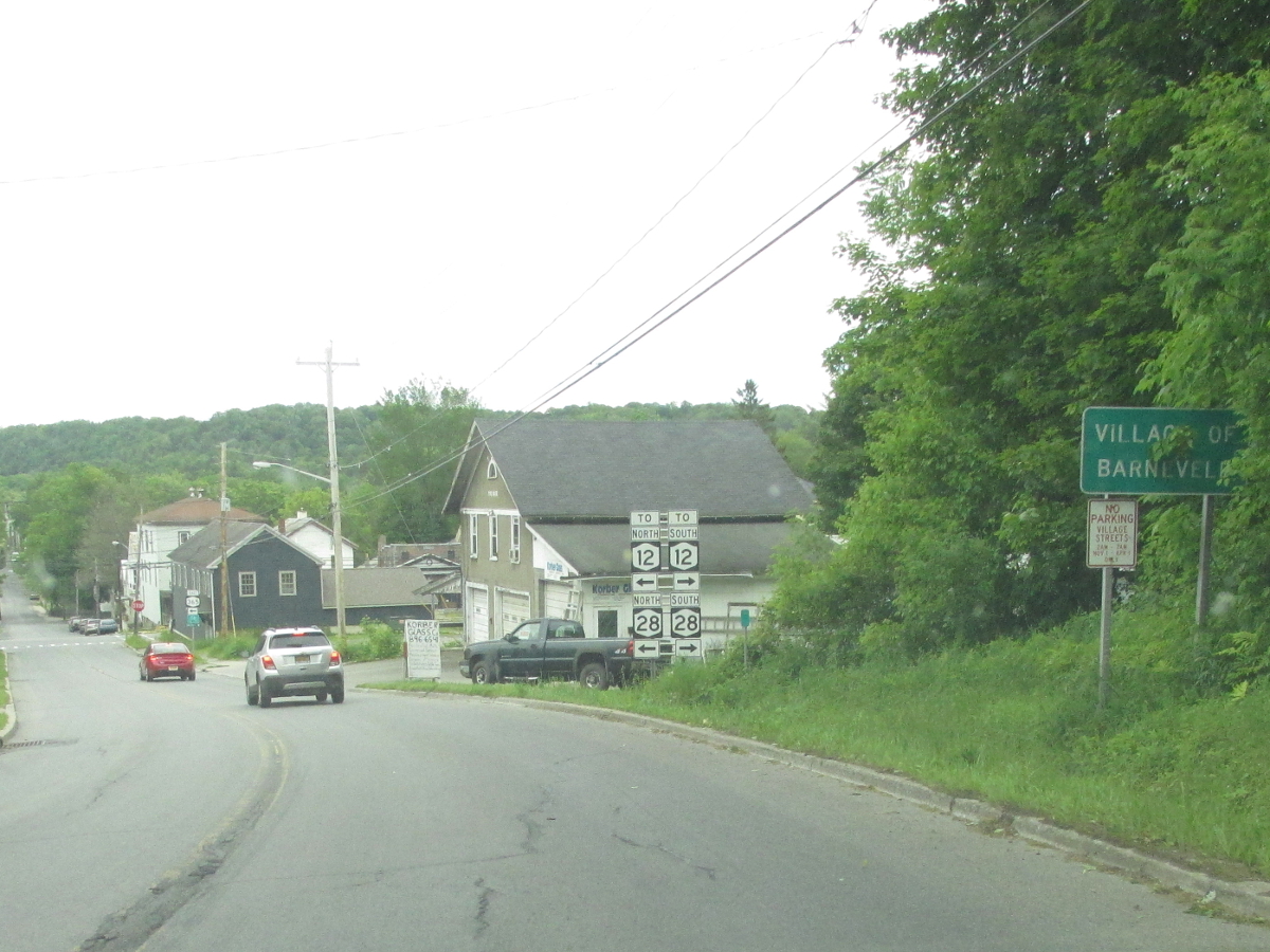
| Villages: | Oneida Castle, Holland Patent, Barneveld, Prospect |
| Towns: | Vernon, Verona, Westmoreland, Floyd, Marcy, Trenton, Remsen, Russia, Ohio |
| Name(s): | State St., Utica-Rome Expressway, New Floyd Rd., Main St., Boon St., Mappa Ave. |
| History: |
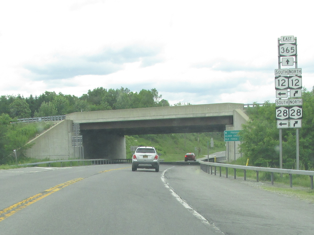
NY 365 originally stretched from Oneida to Plattsburgh. It followed present day NY 365A through downtown Oneida, then east on the current alignment to Barneveld (The four lane section between Verona and Rome replaced the original two lane alignment which now carries Oneida CR 83). From Barneveld, NY 365 followed NY 28, then-NY 10 (now NY 30), and NY 3 to Plattsburgh. The eastern end was truncated by about 180 miles to Stittville (then-NY 12C) in the late 1950s. In 1970, NY 365 was extended east to its current eastern terminus at NY 8 in Wilmurt replacing the NY 12C and NY 287 designations which had been eliminated. |
| Recommendation: |
With NYSDOT having tentative plans to relocate the I-790 designation to the NY 49 alignment between Utica and Rome and replacing NY 365 west of Rome with a possible NY 790 alignment, we recommend truncating NY 365's west end to Rome. The western terminus would be realigned such that NY 365 would follow East Dominick St. to Black River Blvd. (NY 26/NY 46) where the NY 365 designation would end. |

1940 Sinclair Rand McNally New York map showing |

1956 Texaco Rand McNally New York map showing the NY 365 alignment between |

1956 Texaco Rand McNally New York map showing the NY 365 alignment between |

1956 Texaco Rand McNally New York map showing the NY 365 alignment between |
|
| Mile | Desc. |  |
 |
| . | . |

 |
. |
| 0.00 | JCT
|

| |
| . |
 (Mark Sinsabaugh, 06/26/2021) |
||
| 0.61 | . | . | |
| . |
 (Mark Sinsabaugh, 06/26/2021) |
||
| 0.87 | JCT |
 (ET) (ET) |
|
 (Mark Sinsabaugh, 10/15/2022) |
 (Mark Sinsabaugh, 10/15/2022) |
||
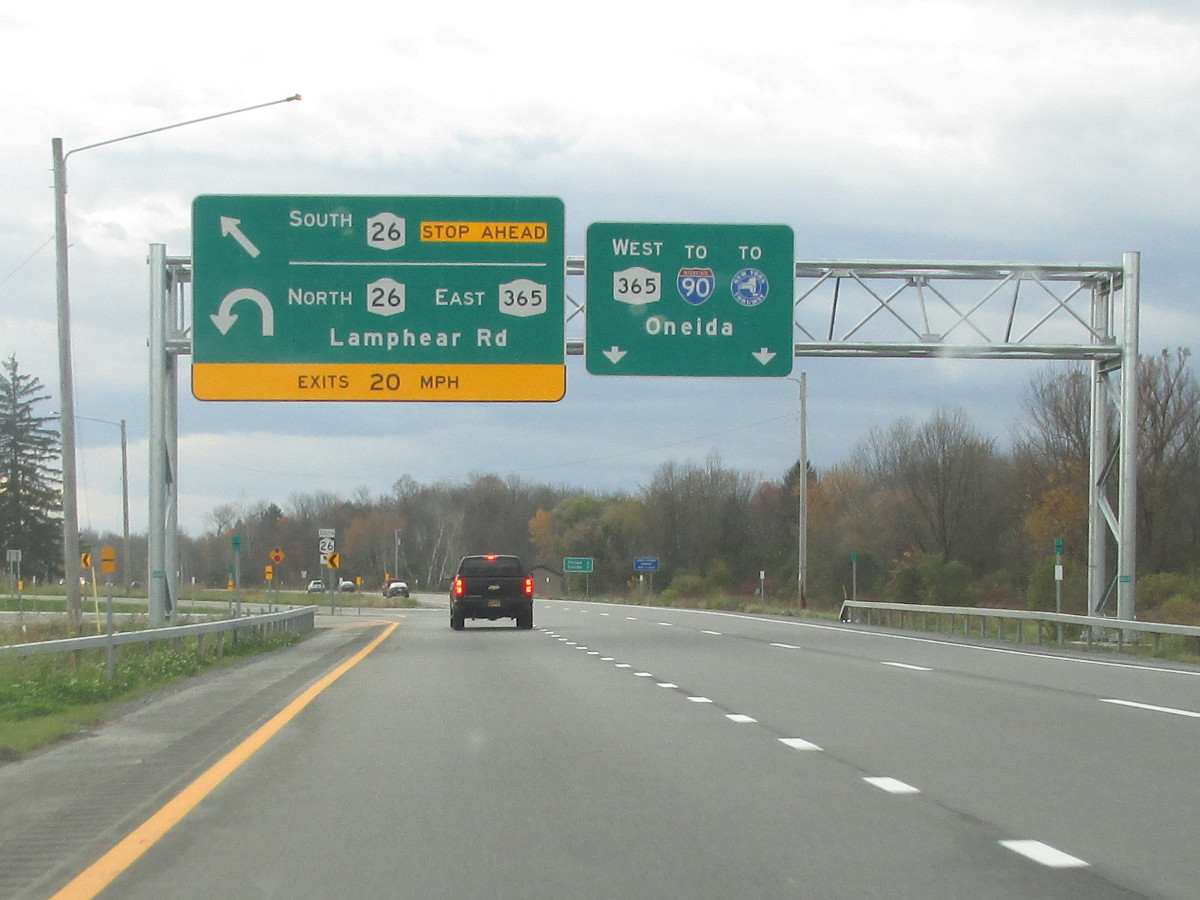
| 4.07 | JCT |
 (Exit 33) (Exit 33) |
|
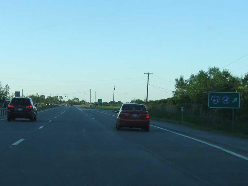 (Mark Sinsabaugh, 06/18/2013) |
 (Mark Sinsabaugh, 03/26/2022) |
||
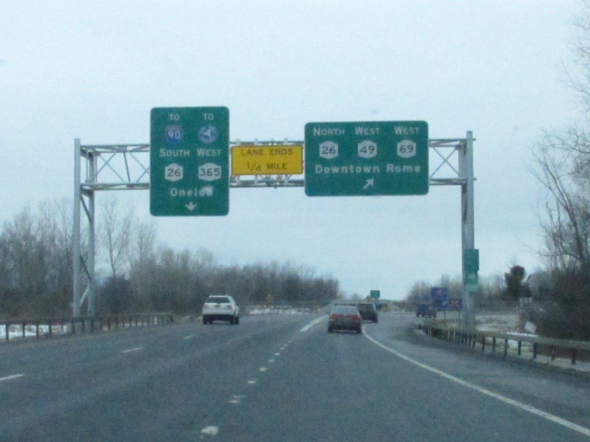
| 4.79 | JCT |
 |
|
 (Mark Sinsabaugh, 06/07/2015) |
 (Mark Sinsabaugh, 07/09/2010) |
||
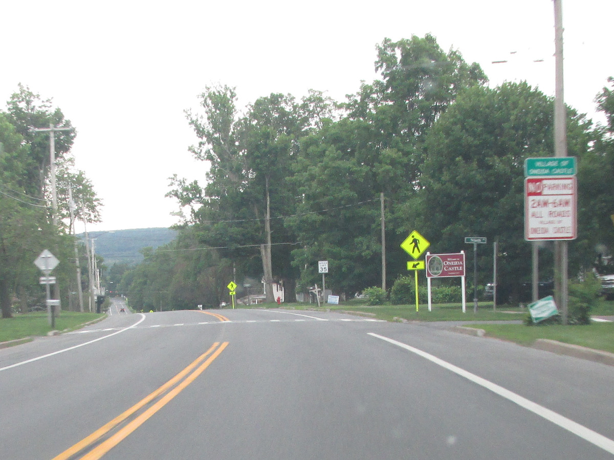
| 8.28 | . |
 |
. |
 (Mark Sinsabaugh, 04/13/2008) |
. | ||
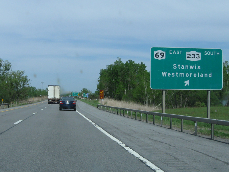
| 11.18 | INT |
 |
|
 (Mark Sinsabaugh, 04/17/2025) |
 (Mark Sinsabaugh, 10/27/2023) |
||
| . | MP |
 |
. |
| . | MP | . |
 |
| 13.24 | INT |


|
|
 (Mark Sinsabaugh, 07/14/2018) |
 (Mark Sinsabaugh, 02/21/2016) |
||
| . | MP |
 |
. |
| . | MP | . |
 |
| 13.56 | INT |

 |
|
 (Mark Sinsabaugh, 05/20/2009) |
 (Mark Sinsabaugh, 02/21/2016) |
||
| . | MP |
 |
. |
| . | MP | . |
 |
| 14.68 | INT |
 |
|
 (Mark Sinsabaugh, 06/07/2015) |
 (Mark Sinsabaugh, 06/15/2019) |
||
| 15.91 | JCT |
 |
|
 (Mark Sinsabaugh, 06/07/2015) |
 (Mark Sinsabaugh, 07/16/2016) |
||
| 17.87 | . | . |
|
| . |
 (Mark Sinsabaugh, 06/15/2019) |
||
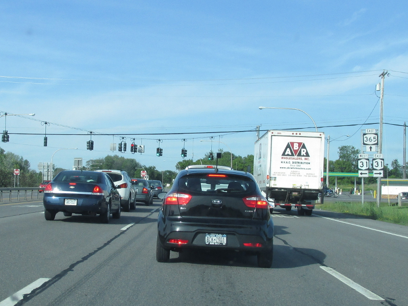
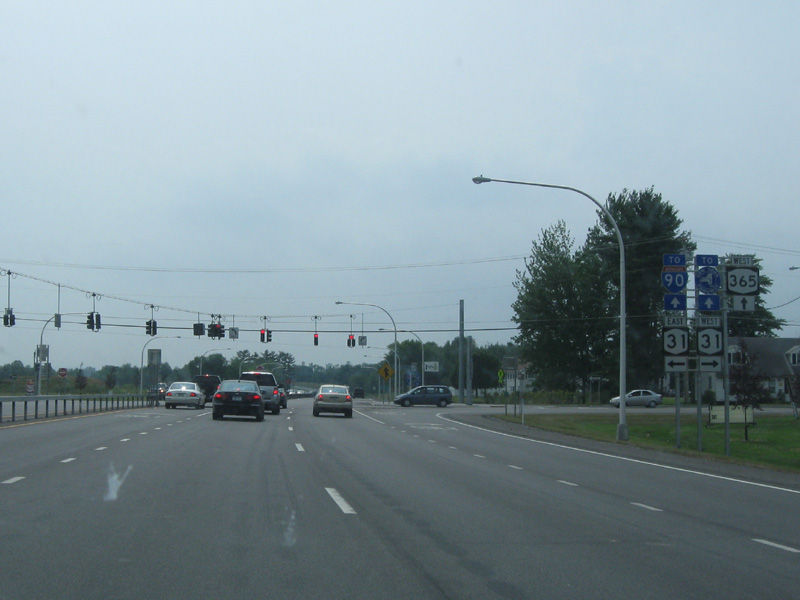
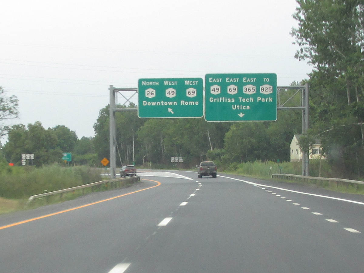
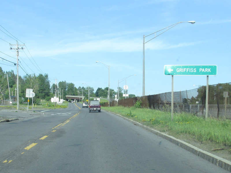
| 20.48 | JCT |
 (Formerly
 ) ) |
|
 (Mark Sinsabaugh, 03/26/2022) |
 (Mark Sinsabaugh, 03/26/2022) |
||
| 23.14 | JCT |
 (NT) (NT) |
|
 (Mark Sinsabaugh, 07/29/2018) |
 (Mark Sinsabaugh, 06/15/2019) |
||
| 24.32 | . |
 |
. |
 (Mark Sinsabaugh, 06/21/2007) |
. | ||
| 24.88 | JCT |
 (ST) (ST) |
|
 (Mark Sinsabaugh, 03/24/2018) |
 (Mark Sinsabaugh, 03/24/2018) |
||
| 25.20 | . | . |
|
| . |
 (Mark Sinsabaugh, 06/21/2007) |
||
| 28.86 | . |
 |
. |
 (Mark Sinsabaugh, 06/15/2019) |
. | ||
| 29.24 | . | . |
|
| . |
 (Mark Sinsabaugh, 09/21/2008) |
||
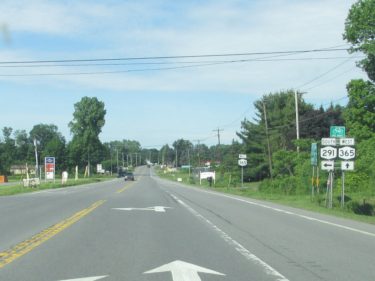
| 29.81 | JCT |

 |
|
 (Mark Sinsabaugh, 06/15/2019) |
 (Mark Sinsabaugh, 06/22/2019) |
||
| 32.03 | JCT |
 Formerly Formerly
 |
|
 (Mark Sinsabaugh, 06/22/2019) |
 (Mark Sinsabaugh, 06/22/2019) |
||
| 37.60 | . |

 |

 |
 (Mark Sinsabaugh, 05/20/2009) |
 (Mark Sinsabaugh, 06/22/2019) |
||
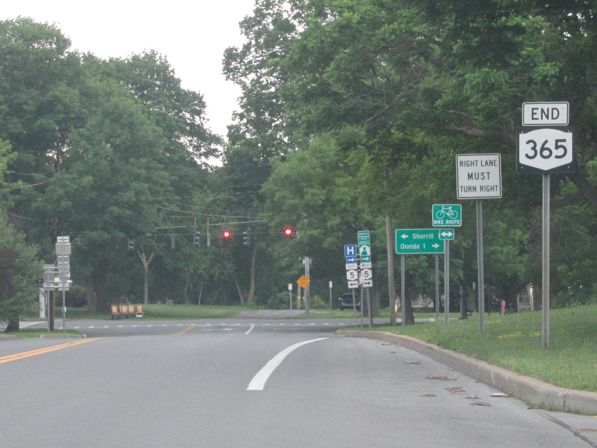
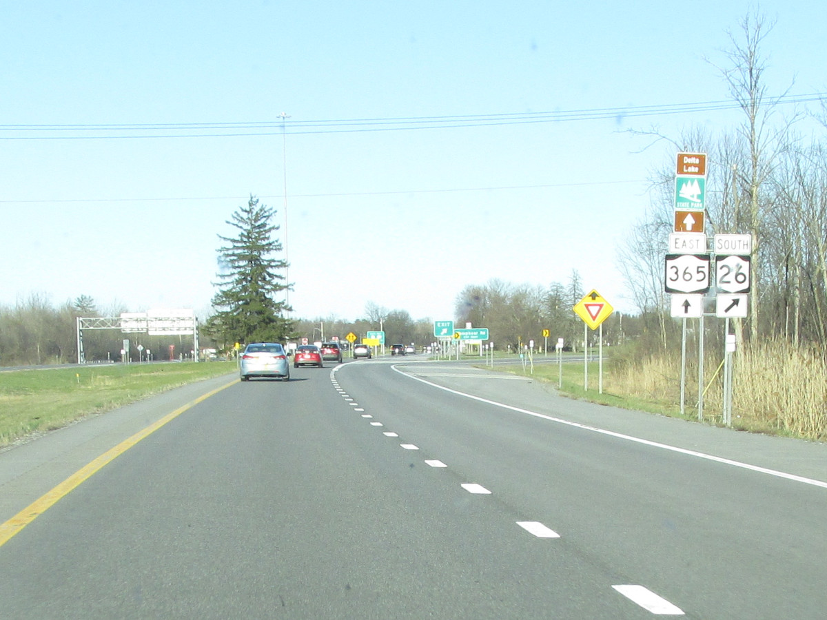
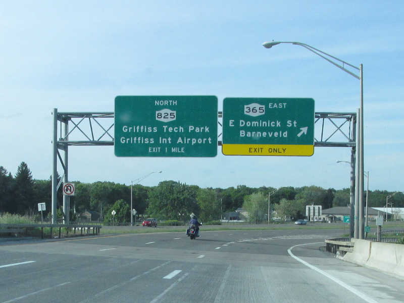
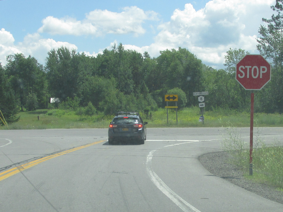
| 44.41 | JCT (ET)
|
 |
|
 (Mark Sinsabaugh, 07/12/2020) |
. | ||
| . | . | . |
|

About |
Junction List |
Photos/Videos |
Links
|
No photos have been submitted.
If you have photos to submit, please contact us. |
About |
Junction List |
Photos/Videos |
Links
|
Alps Roads (Steve Alpert) New York State Roads (Valerie Deane) Wikipedia: New York 365 |
 | |
 (1930-32) | |

|
 |

|

|
Page Created: June 30, 2006 | Page Updated: May 6, 2025