 |
Interstate 281 |
About |
Junction List |
Photos/Videos |
Links
| Decommissioned: | 01/01/1970 |
| Western Terminus: | I-81, Syracuse |
| Eastern Terminus: | I-90, DeWitt |
| Length: | 9.41 miles (15.15 km) |
| Orientation: | East-West |
| Counties: | Onondaga |
| Cities: | Syracuse |
| Villages: | None |
| Towns: | Onondaga, DeWitt |
| Name(s): | None |
| Replaced By: | I-481 |
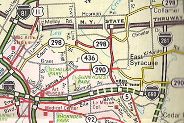
Scan from the 1970 Getty R.R. Donnelly New York State Map |
About |
Junction List |
Photos/Videos |
Links
| Mile | Desc. | NORTH
 (Read Down) (Read Down) |
SOUTH
(Read Up) |
| . | . |
 |
. |
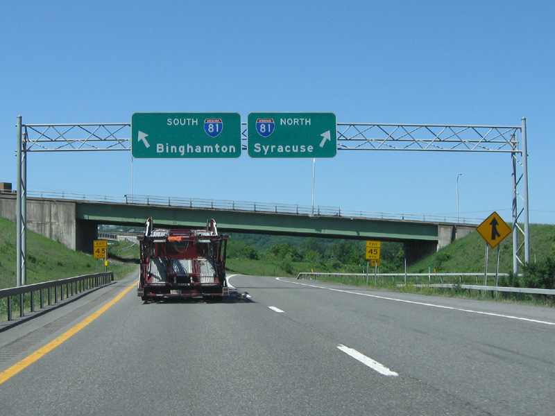
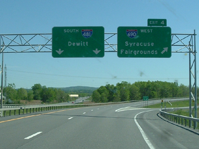
| 0.00 | INT (ST) |
 (Exit 16A) (Exit 16A)
| |
| . |
 (Mark Sinsabaugh, 05/31/2009) |
||
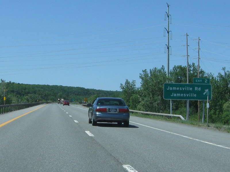
| 0.50 | INT |
 |
 |
 (Mark Sinsabaugh, 04/02/2007) |
 (Mark Sinsabaugh, 05/31/2009) |
||
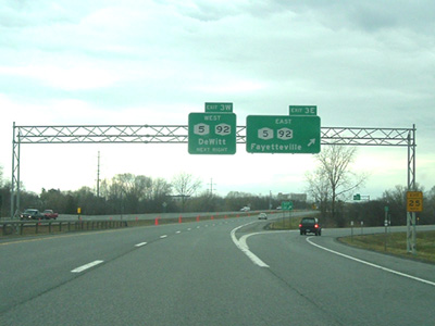
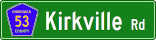
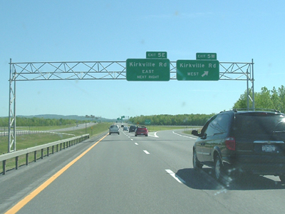
| 3.29 | INT |
 |
|
 (Mark Sinsabaugh, 04/02/2007) |
 (Mark Sinsabaugh, 05/31/2009) |
||
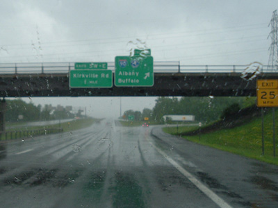
| 5.10 | INT |

 |
|
 (Mark Sinsabaugh, 04/02/2007) |
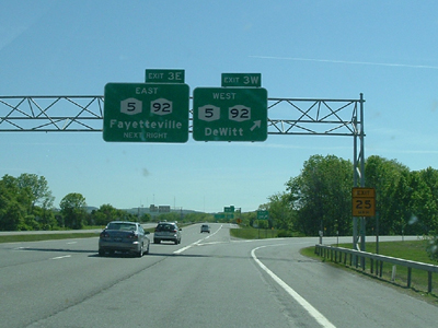 (Mark Sinsabaugh, 05/25/2008) |
||
| 6.36 | INT |
 (ET) (ET) |
|
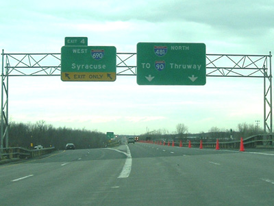 (Mark Sinsabaugh, 04/02/2007) |
 (Mark Sinsabaugh, 05/25/2008) |
||
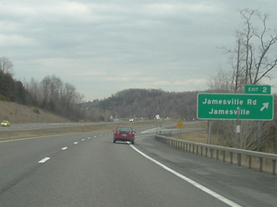
| 8.28 | INT |
 |
|
 (Mark Sinsabaugh, 04/02/2007) |
 (Mark Sinsabaugh, 05/25/2008) |
||
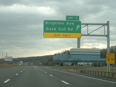
| 9.41 | INT (ET) |
 (Exit 34A) (Exit 34A) |
|
 (Mark Sinsabaugh, 04/02/2007) |
 (Mark Sinsabaugh, 07/13/2008) |
||
| . | . | . |
|
About |
Junction List |
Photos/Videos |
Links
|
No photos have been submitted.
If you have photos to submit, please contact us. |
About |
Junction List |
Photos/Videos |
Links
| Wikipedia: I-281 |

|
 |

|

|
Page Created: July 31, 2006 | Page Updated: August 8, 2020