 |
New York 61 |
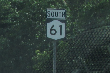
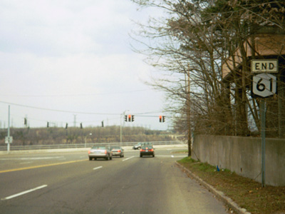
Southbound NY 61 shield in Niagara Falls.
|
About |
Junction List |
Photos/Videos |
Links |
| Southern Terminus: | NY 384, Niagara Falls |
| Northern Terminus: | NY 104, Niagara Falls |
| Length: | 3.86 miles (6.21 km) |
| Orientation: | North-South |
| Counties: | Niagara |
| Cities: | Niagara Falls |
| Villages: | None |
| Towns: | Lewiston |
| Name(s): | Hyde Park Blvd. |
| History: | Assigned in 1958 |
About |
Junction List |
Photos/Videos |
Links |
| Mile | Desc. |  |
 |
| . | . |

 |
. |
| 0.00 | JCT
|

| |
| . |
 (Mark Sinsabaugh, 06/13/2026) |
||
| 0.67 | JCT |
 |
|
| . |
 (Mark Sinsabaugh, 06/13/2026) |
||
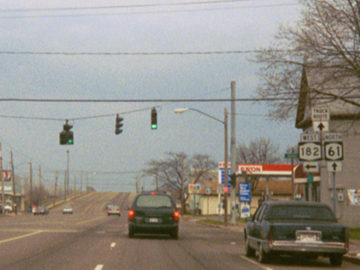
| 0.81 | JCT |
 |
|
| . |
 (Mark Sinsabaugh, 04/17/2004) |
||
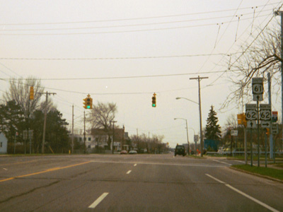
| 0.93 | JCT |
 Formerly
 |
|
| . |
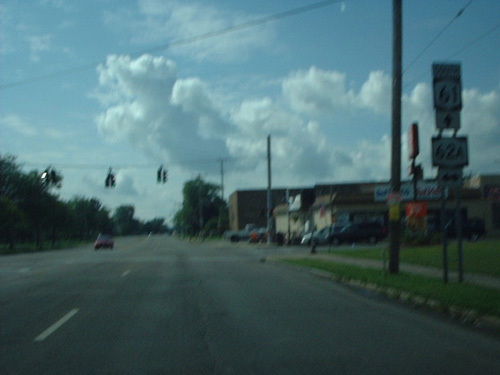 (Douglas Kerr, 08/14/2004) |
||
| 1.80 | JCT |
 |
|
| . |
 (Mark Sinsabaugh, 06/13/2026) |
||
| . | MP |
 |
. |
| . | MP | . |
 |
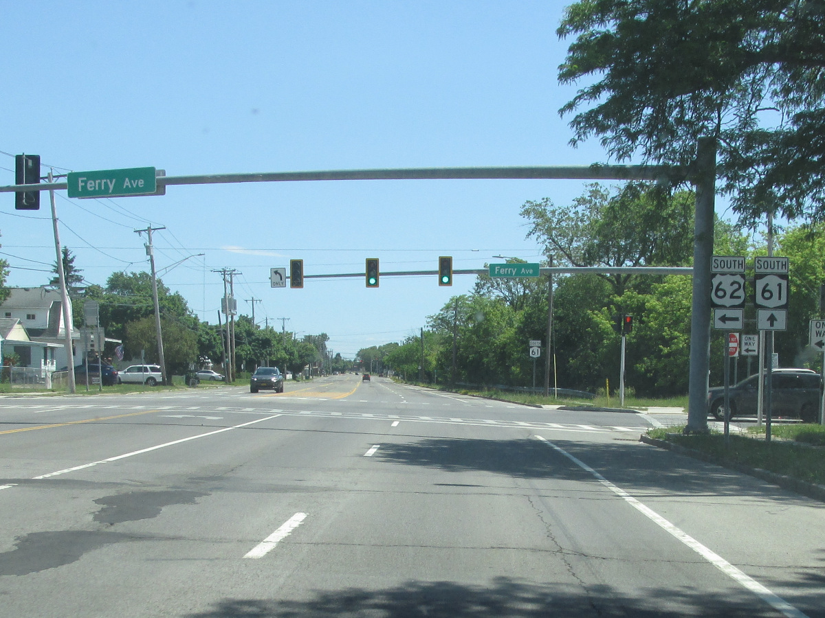
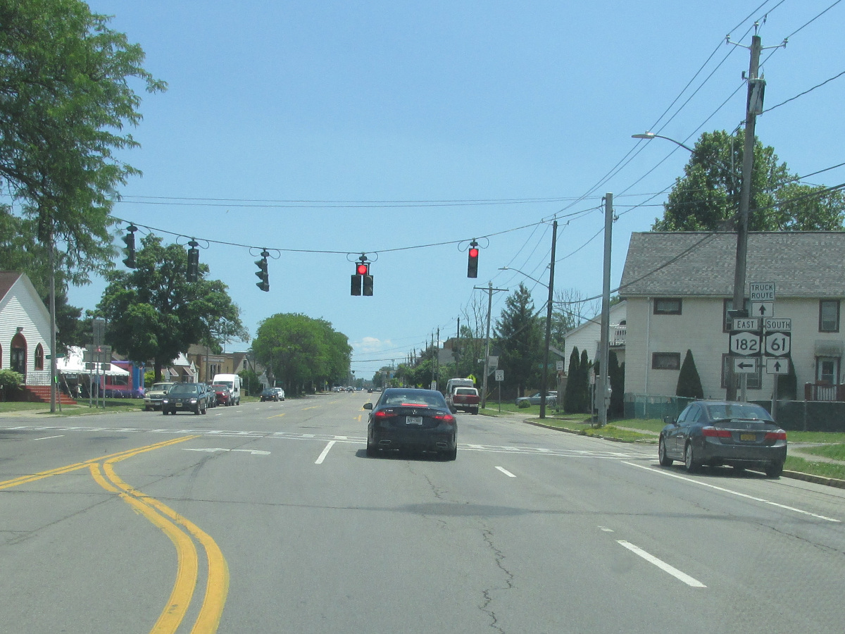
| 1.91 | JCT |
 |
|
 (Mark Sinsabaugh, 04/17/2004) |
 (Mark Sinsabaugh, 04/17/2004) |
||
| 2.87 | JCT |
 |
|
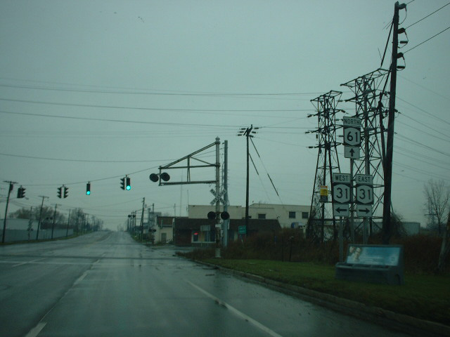 (Douglas Kerr, 11/16/2003) |
. | ||
| 3.60 | . | . | |
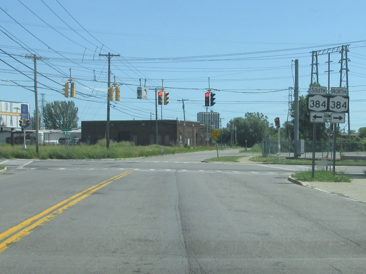
| 3.86 | JCT
|
 |
|
 (Mark Sinsabaugh, 04/17/2004) |
. | ||
| . | . | . | |

About |
Junction List |
Photos/Videos |
Links |
|
No photos have been submitted.
If you have photos to submit, please contact us. |
About |
Junction List |
Photos/Videos |
Links |


|
 | |
 1930-31 Suffern to West Haverstraw |
1934-40s Cortlandt |

|
 |

|

|
Page Created: September 20, 2006 | Page Updated: June 15, 2026