 |
New York 48 |
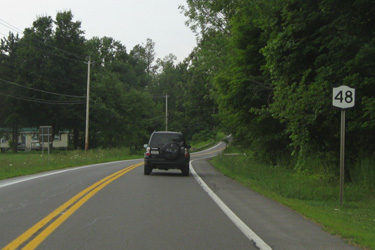
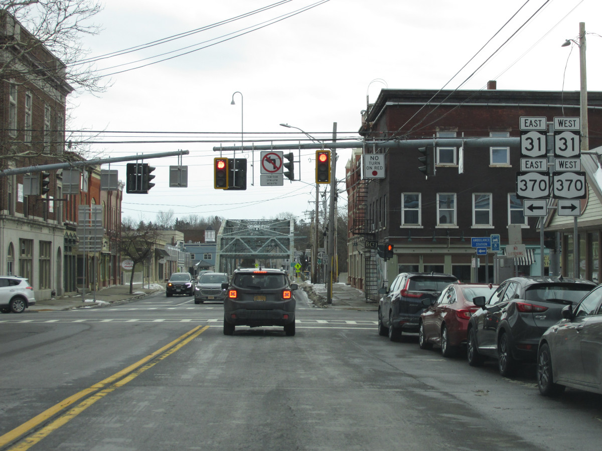
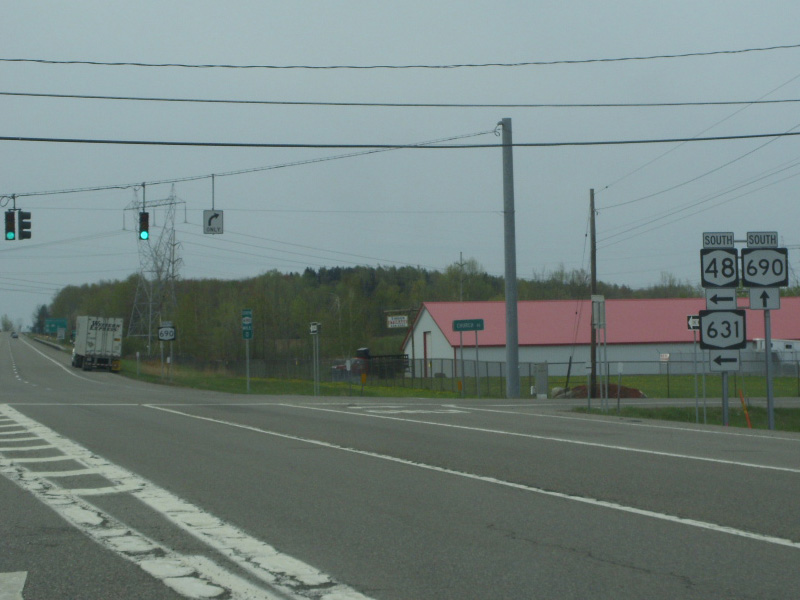
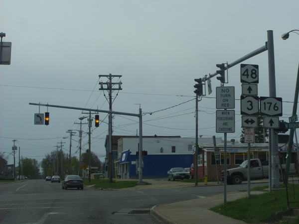
Looking north on NY 48 near Fulton.
|
About |
Junction List |
Photos/Videos |
Links |
| Southern Terminus: | I-690, Solvay |
| Northern Terminus: | NY 104, Oswego |
| Length: | 28.31 miles (45.58 km) |
| Orientation: | North-South |
| Counties: | Onondaga, Oswego |
| Cities: | Fulton, Oswego |
| Villages: | Baldwinsville |
| Towns: | Van Buren, Lysander, Granby, Minetto |
| Name(s): | State Fair Blvd., Maple Rd., Syracuse St., Oswego Rd., 1st St., W. Utica St., 5th St. |
| History: |
Originally extended south to NY 5 in downtown Syracuse along the right of way for I-690. Truncated to its present terminus when I-690 was opened in 1973. |
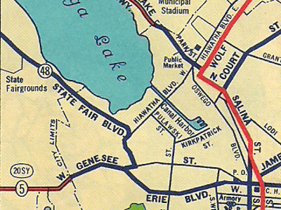
Scan from the 1952 Sunoco Rand McNally New York state map
showing the original southern end of NY 48 in Syracuse.
About |
Junction List |
Photos/Videos |
Links |
| Mile | Desc. |  |
 |
| . | . |  |
. |
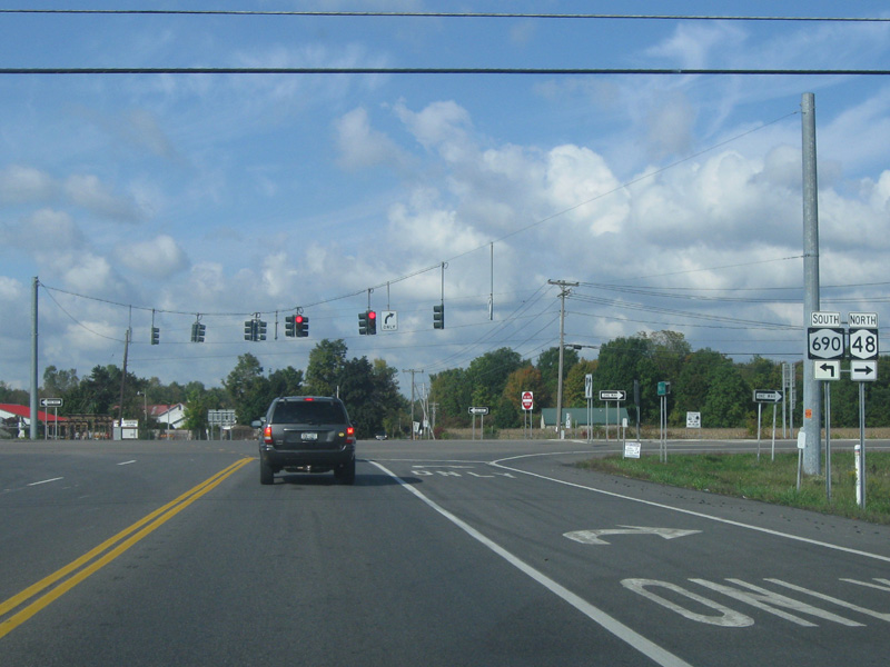
| 0.00 | JCT
|
 (Exit 3-4) (Exit 3-4) |
|
| . |
 (Douglas Kerr, 00/00/0000) |
||
| 3.80 | . |  |
. |
| 4.59 | JCT |

 |
|
 (Mark Sinsabaugh, 02/05/2023) |
 (Mark Sinsabaugh, 02/05/2023) |
||
| 5.51 | . | . | |
| 6.88 | JCT |
 |
|
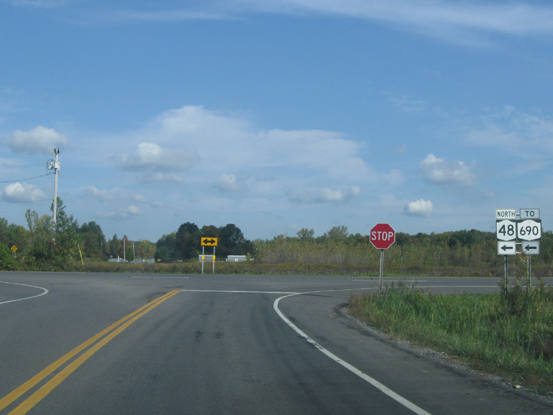 (Mark Sinsabaugh, 09/29/2012) |
 (Mark Sinsabaugh, 09/20/2025) |
||
| . | MP |
 |
. |
| . | MP | . |
 |
| 6.92 | JCT |
 (NT) / (NT) /
 (NT) (NT) |
|
 (Mark Sinsabaugh, 09/29/2012) |
 (Douglas Kerr, 05/03/2009) |
||
| 10.26 | . |  |
|
| 15.67 | . |  |
. |
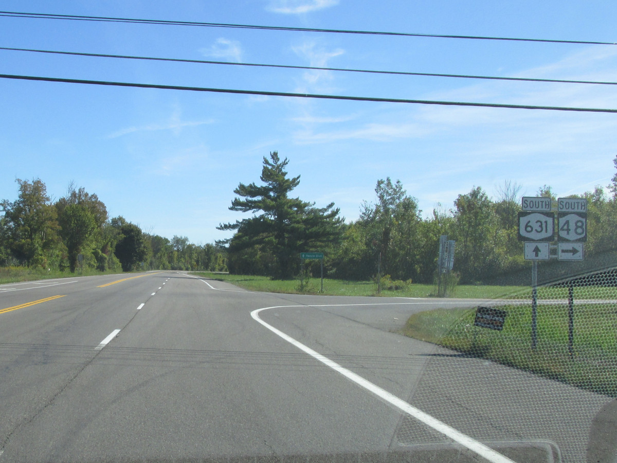
| 16.32 | JCT |
 (NT) (NT) |
|
 (Douglas Kerr, 07/24/2009) |
 (Douglas Kerr, 05/03/2009) |
||
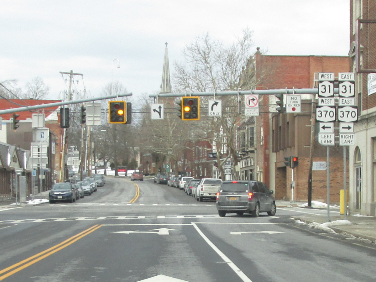
| 16.99 | JCT |
 |
|
 (Mark Sinsabaugh, 06/17/2017) |
 (Douglas Kerr, 05/03/2009) |
||
| 18.05 | . | . | |
| 25.78 | . |  |
. |
 (Mark Sinsabaugh, 08/21/2021) |
|||
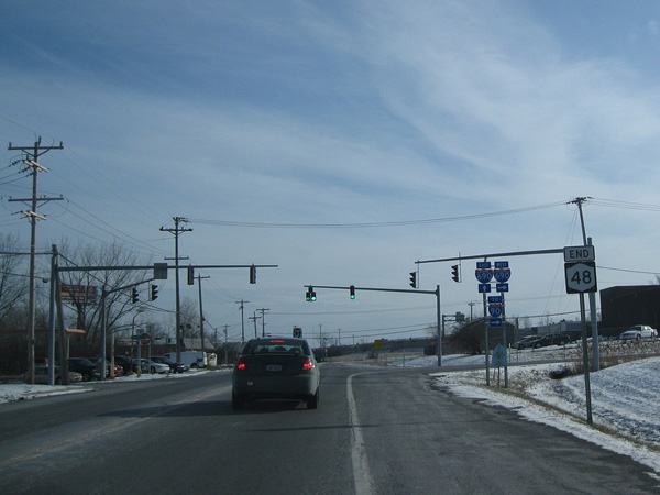
| 28.31 | JCT
|
 |
|
 (Mark Sinsabaugh, 08/21/2021) |
|||
| . | . | . |
|

About |
Junction List |
Photos/Videos |
Links |
|
No photos have been submitted.
If you have photos to submit, please contact us. |
About |
Junction List |
Photos/Videos |
Links |


|

|
 |

|

|
Page Created: December 2, 2006 | Page Updated: September 28, 2025