 |
New York 18 |
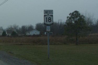
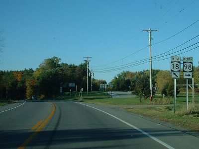
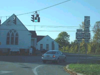
Westbound NY 18 reassurance marker in Hamlin.
|
About |
Junction List |
Photos/Videos |
Links |
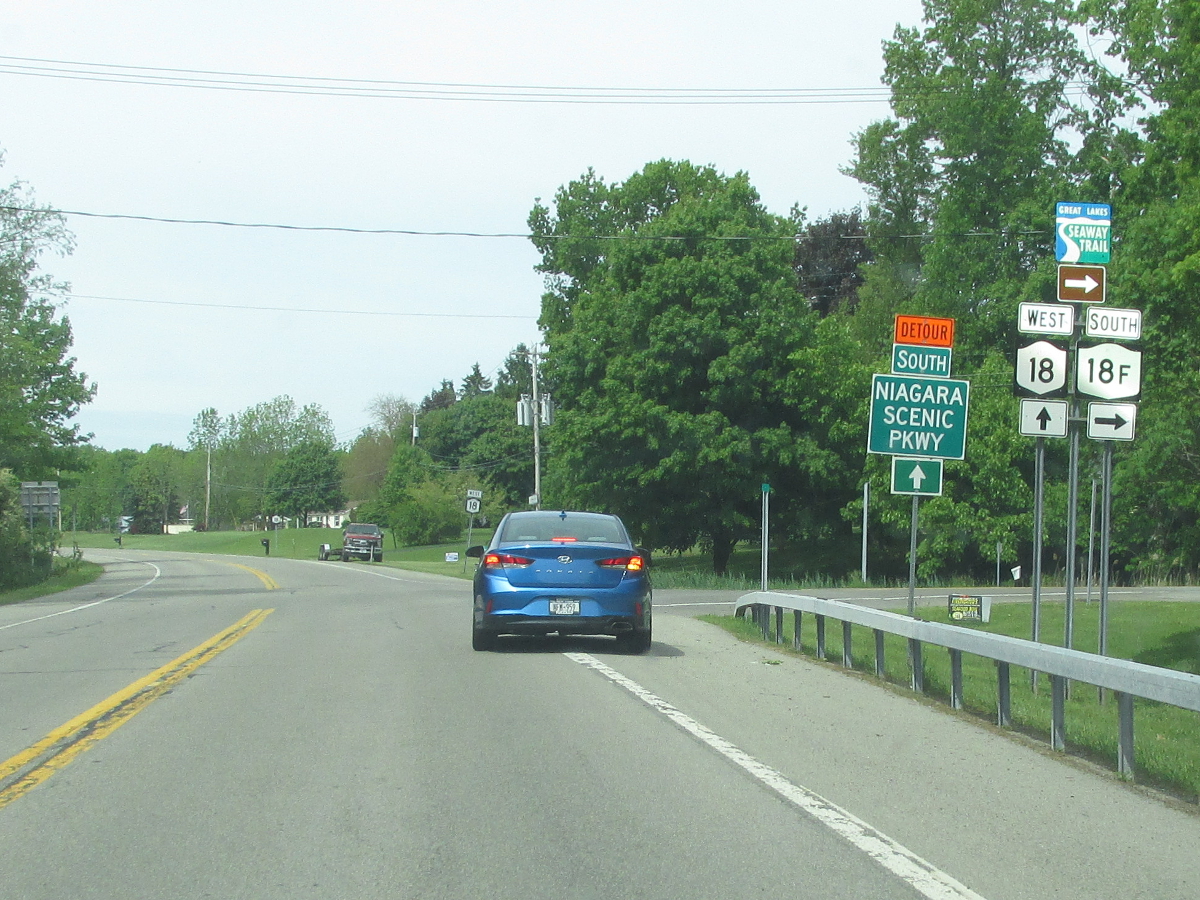
| Western Terminus: | NY 18F / NY 104, Lewiston |
| Eastern Terminus: | NY 104, Rochester |
| Length: | 87.28 miles (140.52 km) |
| Orientation: | East-West |
| Counties: | Niagara, Orleans, Monroe |
| Cities: | Rochester |
| Villages: | Wilson, Hilton |
| Towns: |
Lewiston, Porter, Wilson, Newfane, Somerset, Yates, Carlton, Kendall, Hamlin, Clarkson, Parma, Greece |
| Name(s): |
Creek Rd., Lake Rd., Harbor St., Ontario St., Roosevelt Hwy., Hamlin Center Rd., Clarkson-Hamlin Townline Rd., West Ave., Hilton-Parma Corners Rd., Parma Center Rd., Manitou Rd., Latta Rd., Dewey Ave. |
| History: |
Original routing began at the PA line in Limestone and duplexed with US 219 to Salamanca. From Salamanca, NY 18 turned north and followed the length of present day NY 353. NY 18 then duplexed with US 62 from Dayton to Niagara Falls, and US 104 from Niagara Falls to Lewiston where NY 18's western terminus is presently located (Initially following present day NY 18F but moving to its present alignment in the late 1930s). NY 18 then turned east and followed the length of its present alignment to Rochester. NY 18 then rejoined US 104 and continued east along Ridge Rd. to Culver Rd., then east along Lake Rd. to Sodus Point. NY 18 was scaled down to between Lewiston and Webster (at NY 250) in 1962. In the late 1960's, NY 18 was moved from Culver Rd. to present day NY 590. On March 18, 1980, NY 18's eastern terminus was moved to its present location. E. Ridge Rd., Culver Rd. and Lake Rd. east of Webster are now county maintained. A 5 1/2 mile stretch of Lake Rd. from the Irondequoit Bay Outlet to Webster is still maintained by NYSDOT as Reference Route 941L. |
1950 Gulf Rand McNally New York map |

1952 Sunoco Rand McNally New York map |
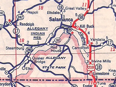
 1971 Texaco Rand McNally New York map showing the NY 18 alignment east of Rochester. |
|
| Mile | Desc. |  |
 |
| . | . |
 |
|
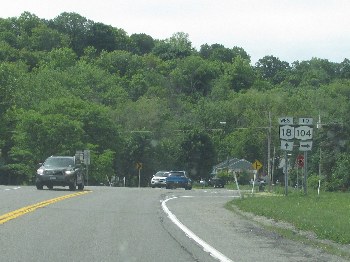
| 0.00 | INT (WT)
|
 |
|
 (Mark Sinsabaugh, 06/09/2019) |
|||
| 1.00 | INT |
 |
|
 (Mark Sinsabaugh, 06/09/2019) |
|||
| 6.92 | JCT |
 |
|
 (Douglas Kerr, 01/29/2000) |
. | ||
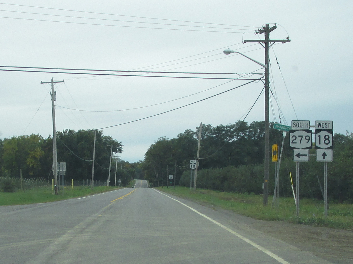
| 7.69 | JCT |
 (NT) (NT) |
|
 (Mark Sinsabaugh, 06/13/2026) |
 (Mark Sinsabaugh, 06/09/2019) |
||
| 8.50 | JCT |
 (NT, NS) (NT, NS) |
|
 (Mark Sinsabaugh, 06/13/2026) |
|||
| 17.16 | . |
 |
. |
| 17.85 | JCT |
 (NT) (NT) |
|
 (Mark Sinsabaugh, 06/13/2026) |
 (Mark Sinsabaugh, 06/13/2026) |
||
| 18.25 | . | . |
|
| 23.71 | JCT |
 (NT) (NT) |
|
 (Mark Sinsabaugh, 06/13/2026) |
 (Mark Sinsabaugh, 06/13/2026) |
||
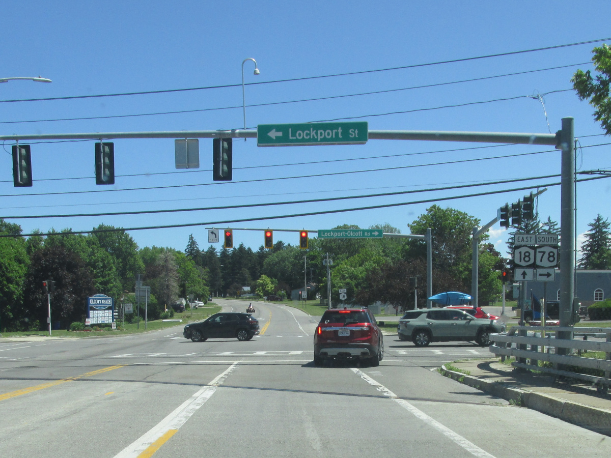
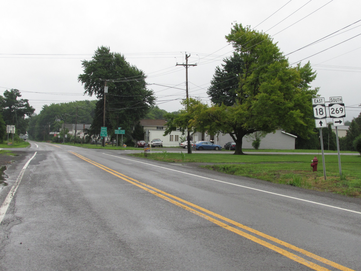
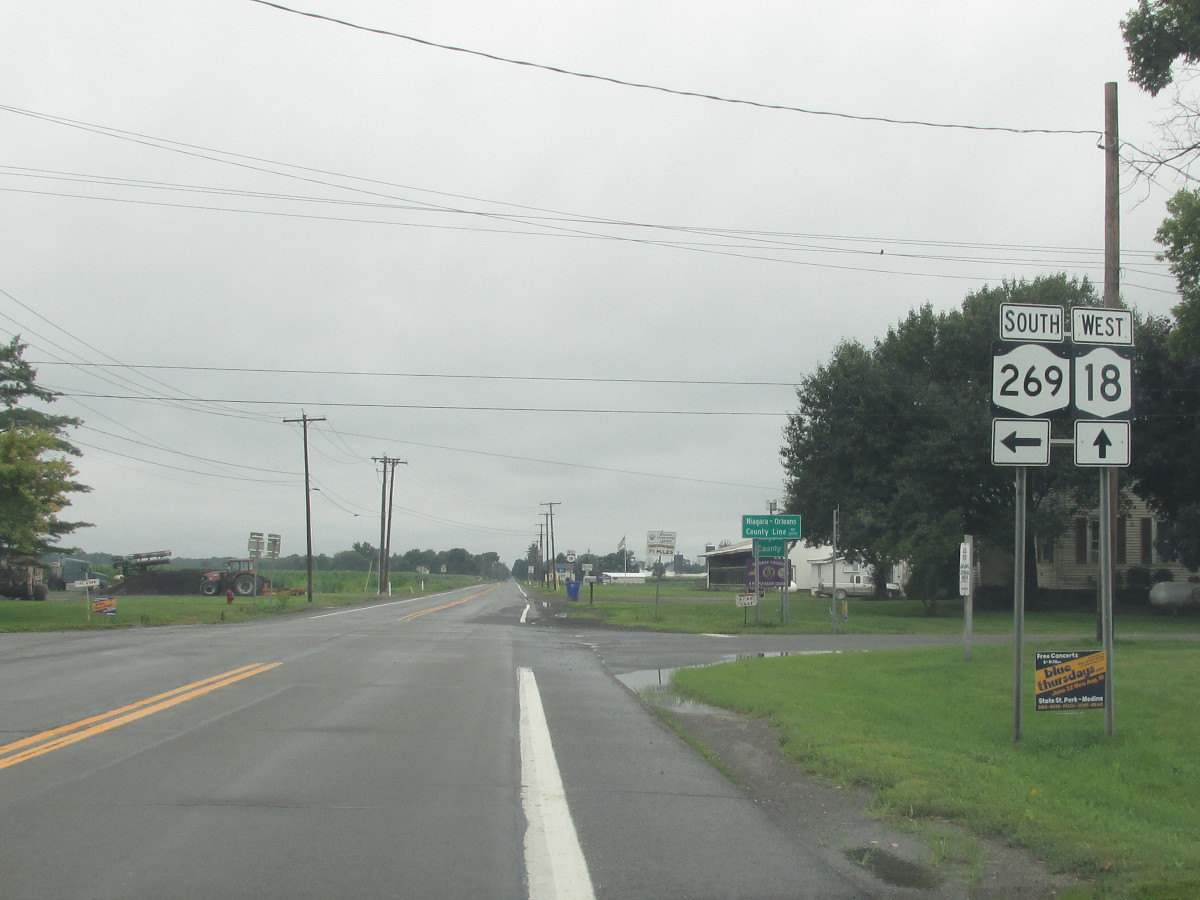
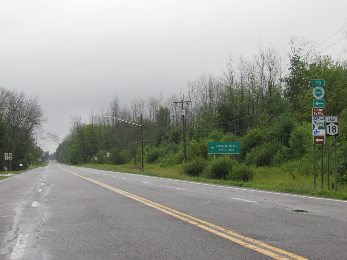
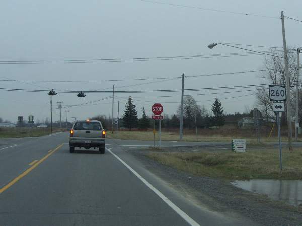
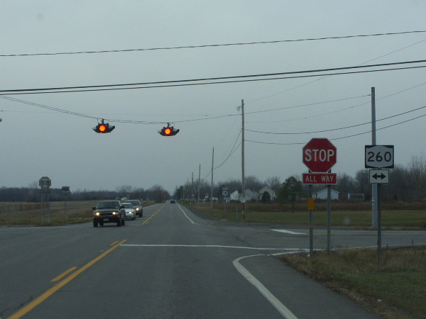
| 31.85 | JCT |
 (NT) (NT) |
|
 (Mark Sinsabaugh, 07/29/2023) |
 (Mark Sinsabaugh, 07/29/2023) |
||
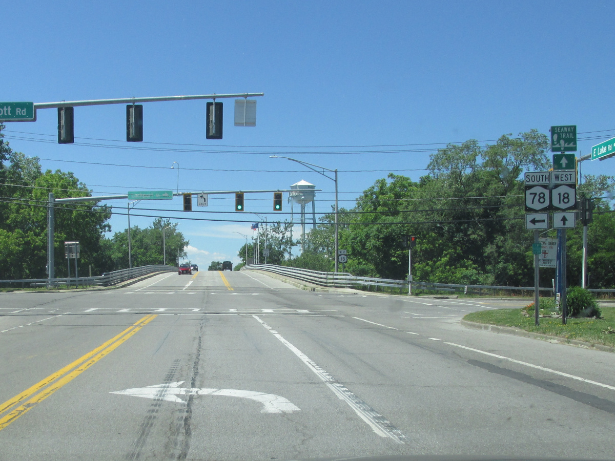
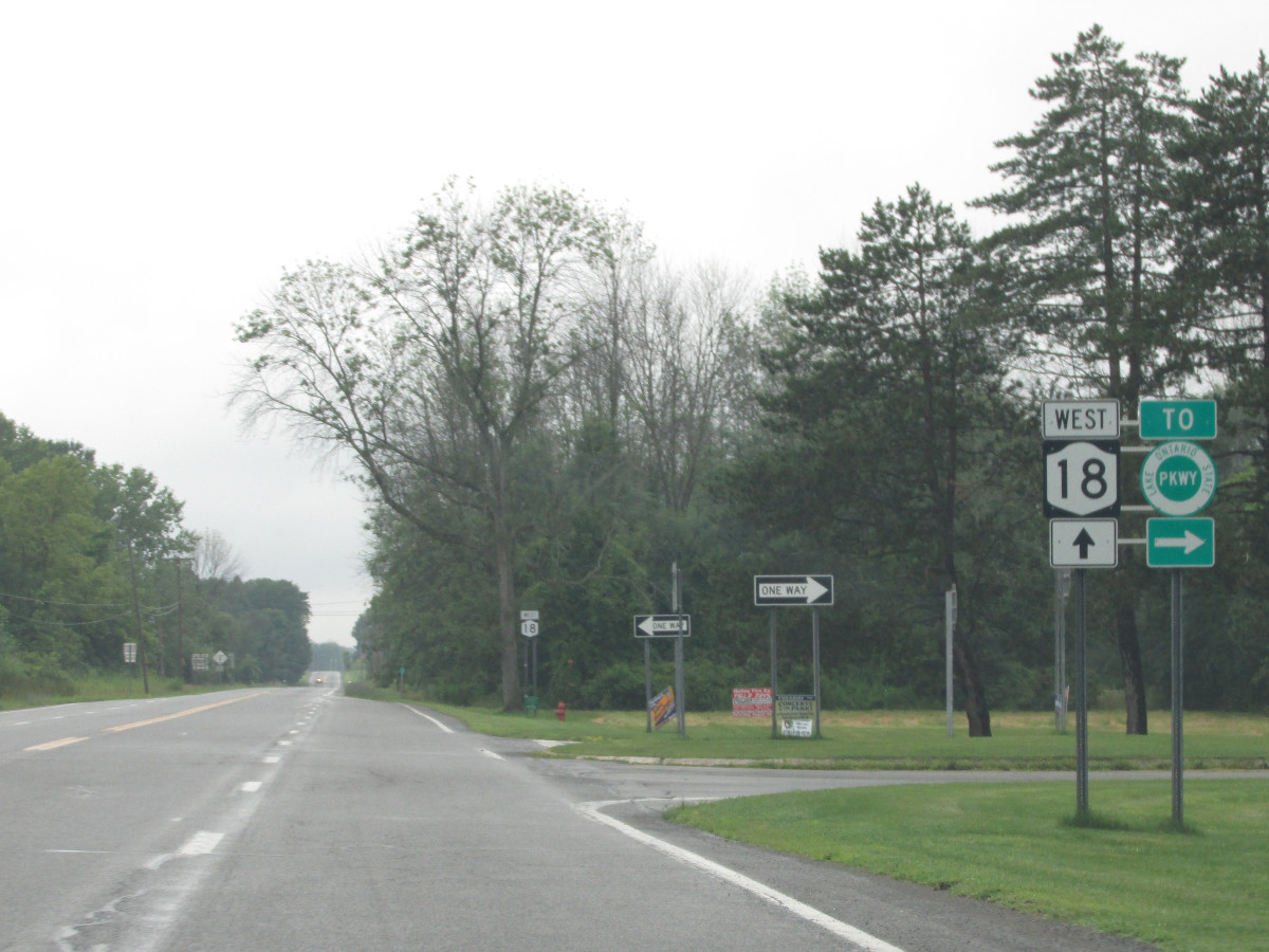
| 36.44 | JCT |
 (NT) (NT) |
|
 (Mark Sinsabaugh, 07/29/2023) |
 (Mark Sinsabaugh, 07/29/2023) |
||
| 36.44 | . |
 |
|
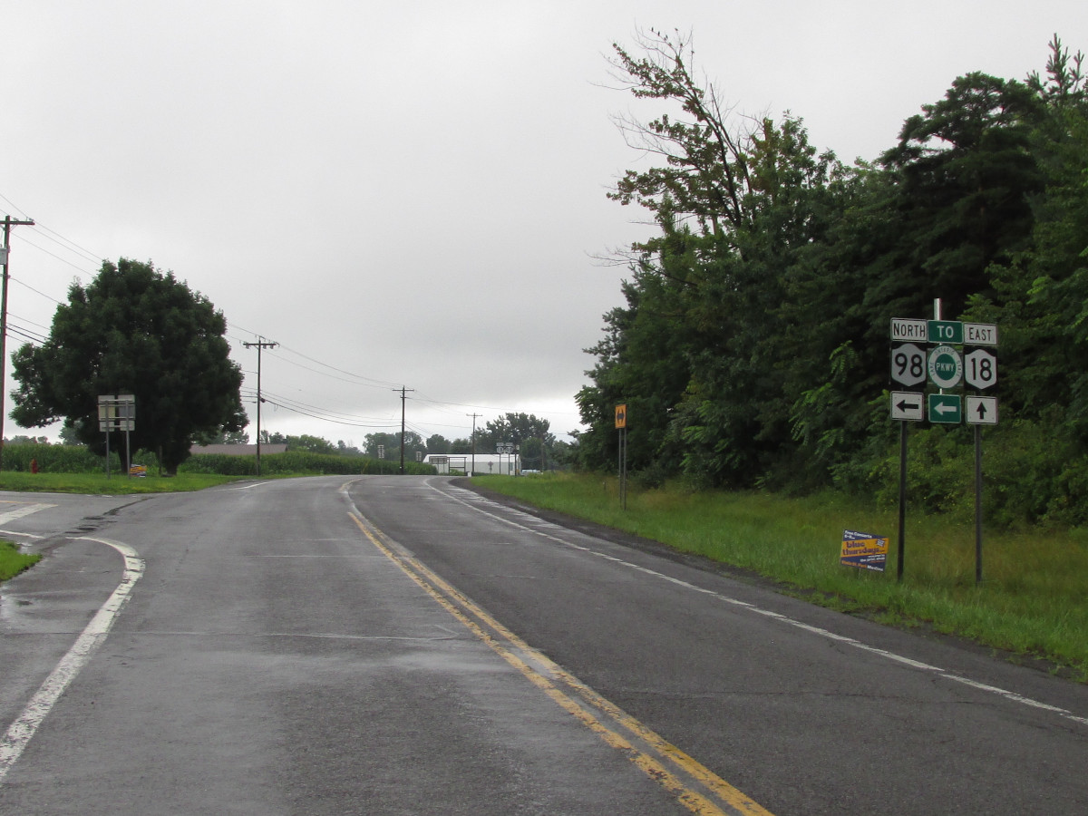
| 40.33 | JCT |
 (NT) (NT) |
|
 (Mark Sinsabaugh, 09/30/2018) |
 (Mark Sinsabaugh, 09/30/2018) |
||
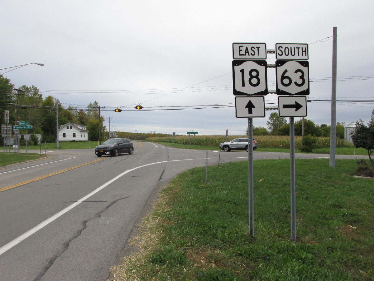
| 48.26 | JCT |
 (NT) (NT) |
|
 (Mark Sinsabaugh, 09/30/2018) |
 (Mark Sinsabaugh, 09/30/2018) |
||
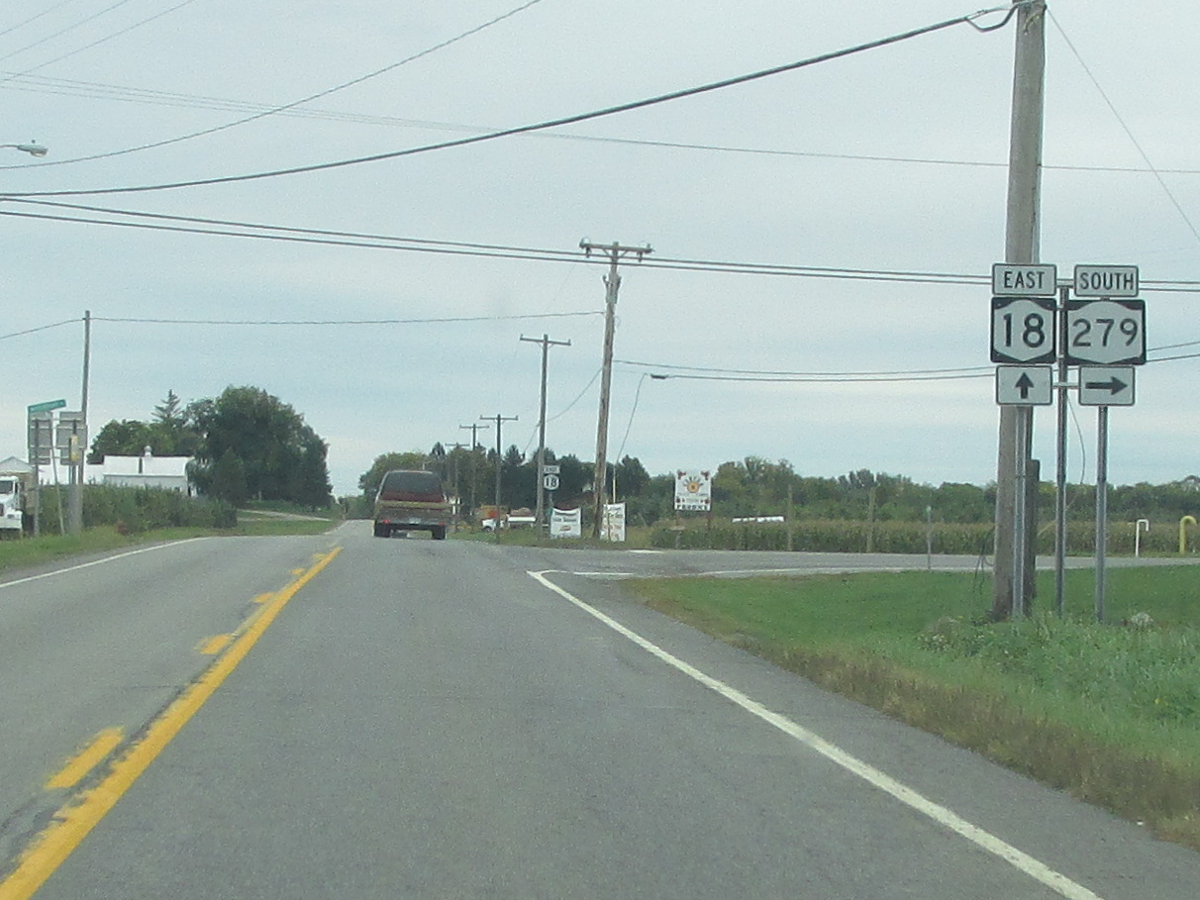
| 48.84 | JCT |

 |
|
 (Mark Sinsabaugh, 07/29/2023) |
 (Mark Sinsabaugh, 07/29/2023) |
||
| 50.84 | JCT |
 |
|
 (Mark Sinsabaugh, 07/29/2023) |
 (Douglas Kerr, 10/12/2003) |
||
| . | MP |
 |
. |
| . | MP | . |
 |
| 51.34 | JCT |
 |
|
 (Mark Sinsabaugh, 07/29/2011) |
. | ||
| 60.14 | JCT |
 |
|
| . |
 (Douglas Kerr, 10/12/2003) |
||
| 62.22 | JCT |
 |
|
| . |
 (Douglas Kerr, 10/12/2003) |
||
| . | MP |
 |
. |
| . | MP | . |
 |
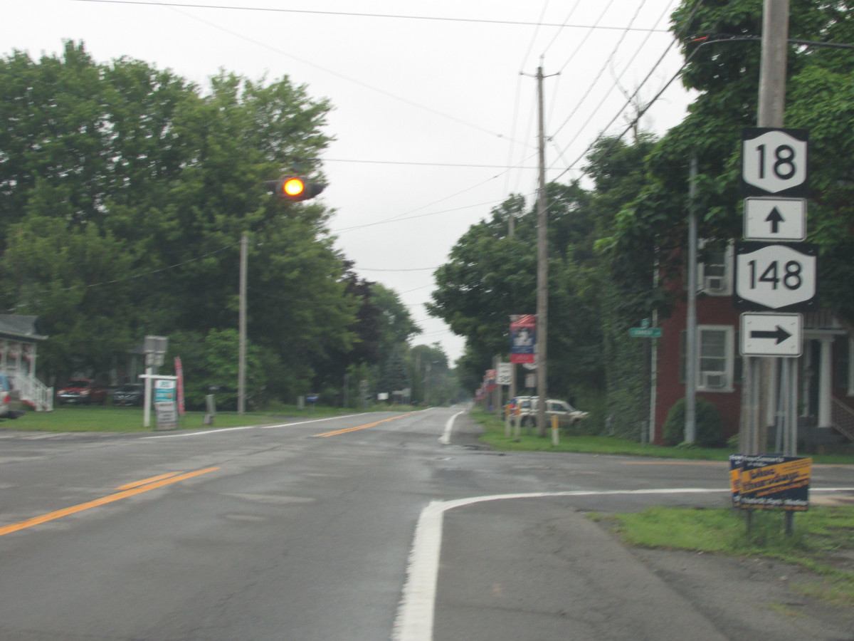
| 63.11 | JCT |
 |
|
 (Douglas Kerr, 10/12/2003) |
. | ||
| 63.11 | . |
 |
|
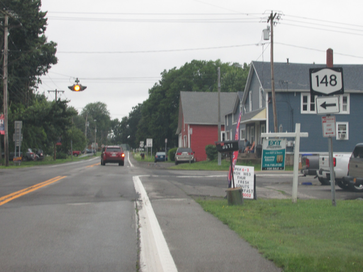
| 67.05 | JCT |
 |
|
| . |
 (Douglas Kerr, 12/06/2008) |
||
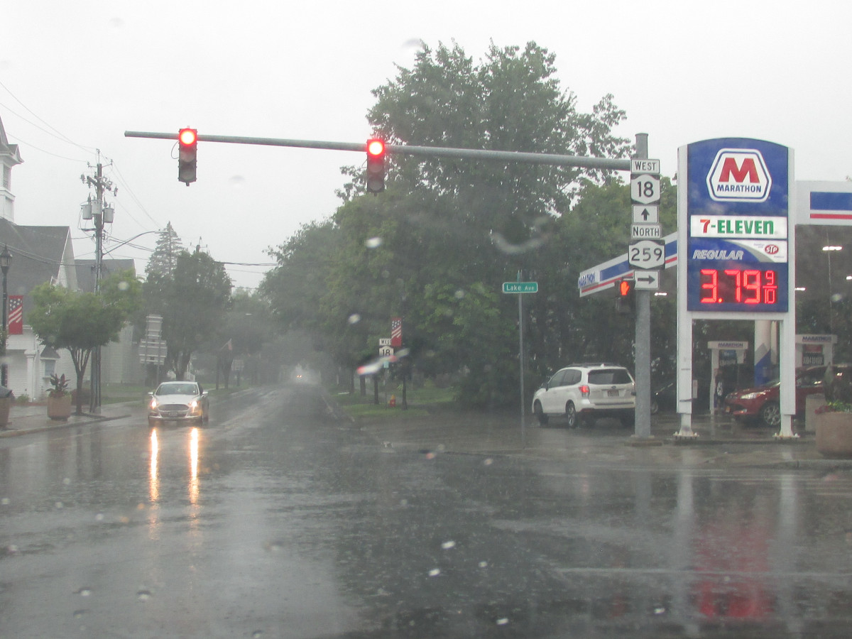
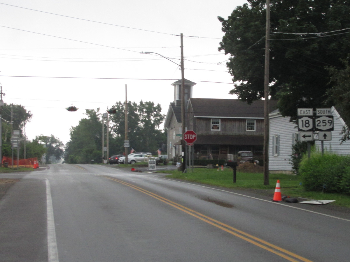
| 70.08 | JCT |
 |
|
 (Douglas Kerr, 12/06/2008) |
 (Douglas Kerr, 12/06/2008) |
||
| 73.38 | . |
 |
. |
| 73.88 | JCT |
 |
|
| . |
 (Mark Sinsabaugh, 07/29/2023) |
||
| . | MP |
 |
. |
| 74.65 | . | . |
|
| . | MP | . |
 |
| 75.98 | JCT |
 |
|
 (Mark Sinsabaugh, 07/29/2023) |
 (Mark Sinsabaugh, 07/29/2023) |
||
| 78.00 | JCT |
 |
|
| . |
 (Mark Sinsabaugh, 06/05/2021) |
||
| . | MP |
 |
. |
| . | MP | . |
 |
| 78.29 | JCT |
 |
|
| . |
 (Douglas Kerr, 10/12/2003) |
||
| 82.51 | JCT |
 (Exit 26) (Exit 26) |
|
| 83.67 | JCT |

|
|
| 86.11 | . |
 |
. |
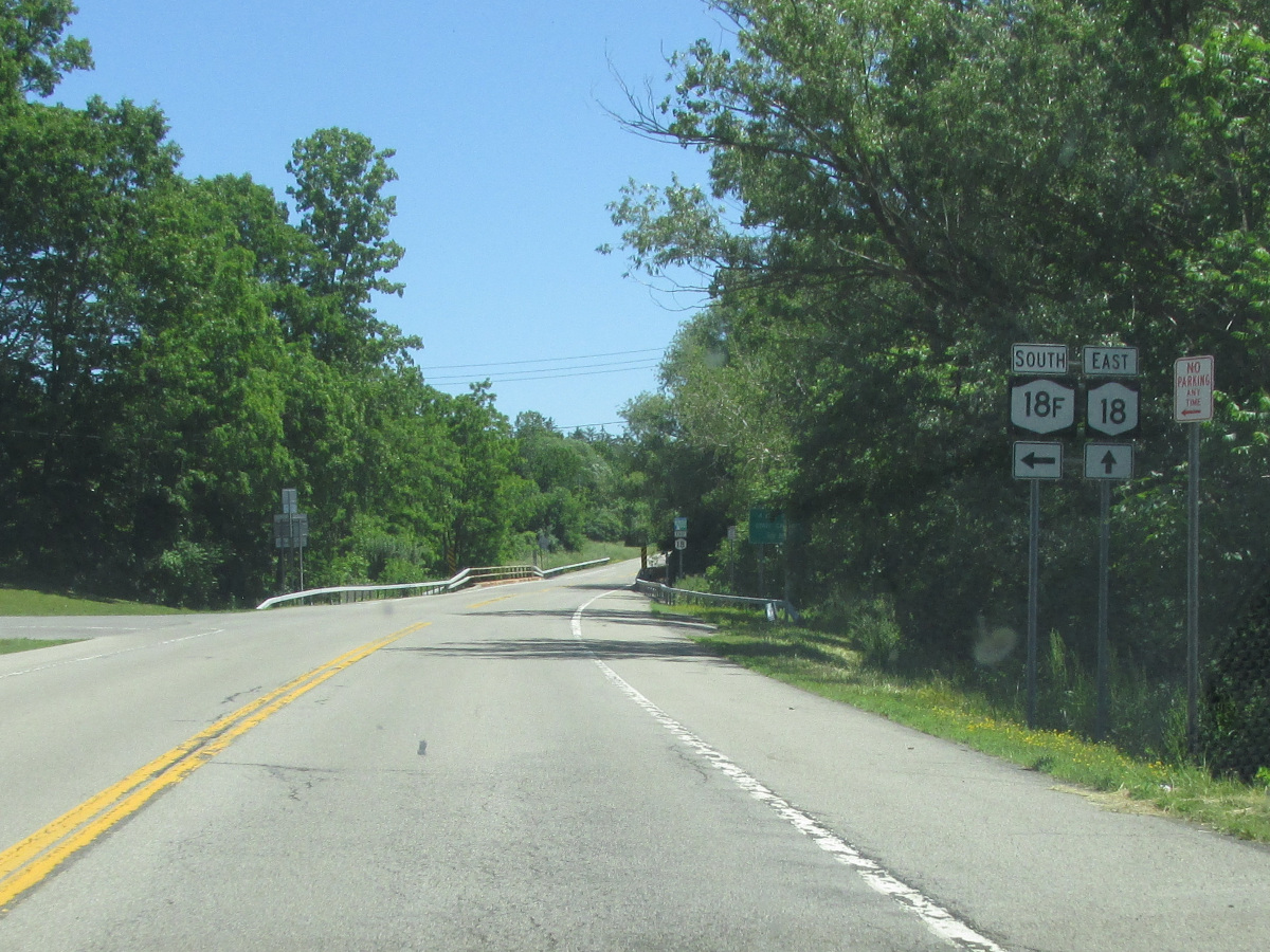
| 87.28 | JCT (ET)
|
| |
| . | . | . |
|

About |
Junction List |
Photos/Videos |
Links |
|
No photos have been submitted.
If you have photos to submit, please contact us. |
About |
Junction List |
Photos/Videos |
Links |


|

|
 |

|

|
Page Created: August 4, 2007 | Page Updated: June 15, 2026