 |
Bronx River Parkway |
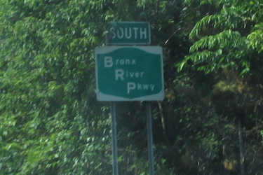
Pre-2016 Bronx River Parkway reassurance marker. |
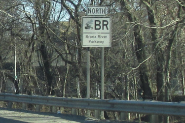
Northbound Bronx River Parkway reassurance marker.
|
About |
Junction List |
Photos/Videos |
Links
| Southern Terminus: | I-278, Bronx |
| Northern Terminus: | NY 22 / Taconic State Parkway, Mount Pleasant |
| Length: | 20.11 miles (32.38 km), including Westchester County maintained section |
| Orientation: | North-South |
| Counties: | Bronx, Westchester |
| Cities: | New York, Yonkers, White Plains |
| Villages: | Scarsdale |
| Towns: | Eastchester, Greenburgh, Mount Pleasant, North Castle |
| Reference Route: |
907H (South of Sprain Brook Parkway), Westchester County Maintained (North of Sprain Brook Parkway) |
About |
Junction List |
Photos/Videos |
Links
| Mile | Desc. |  |
 |
| . | . |

 |
. |
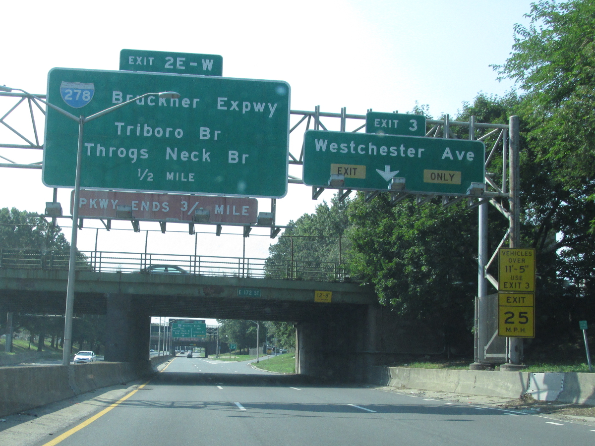
| 0.00 | 
|
 (Exit 51) (Exit 51)
| |
| . |
 (Mark Sinsabaugh, 08/16/2015) |
||
| 0.35 |  |
 |
|
| . |
 (Mark Sinsabaugh, 08/16/2015) |
||
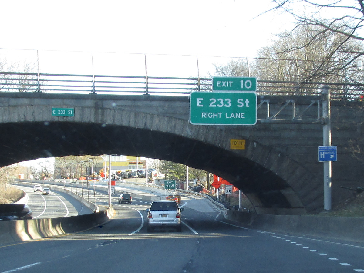
| 0.86 |  |
 (Exit 4B) (Exit 4B) |
|
| . |
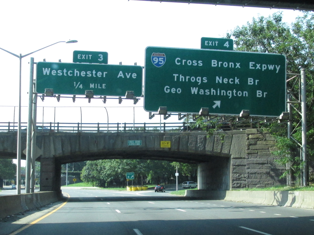 (Mark Sinsabaugh, 08/16/2015) |
||
| 0.99 |  |
. | 
 |
| . |
 (Mark Sinsabaugh, 08/16/2015) |
||
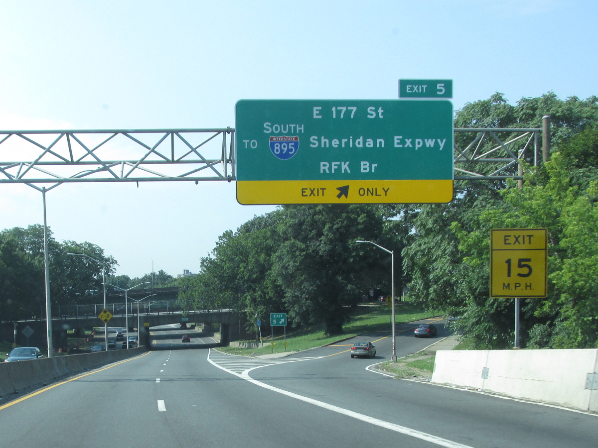
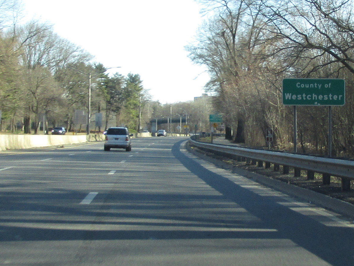
| 2.23 |  |
 |
|
 (Mark Sinsabaugh, 03/19/2023) |
 (Mark Sinsabaugh, 08/16/2015) |
||
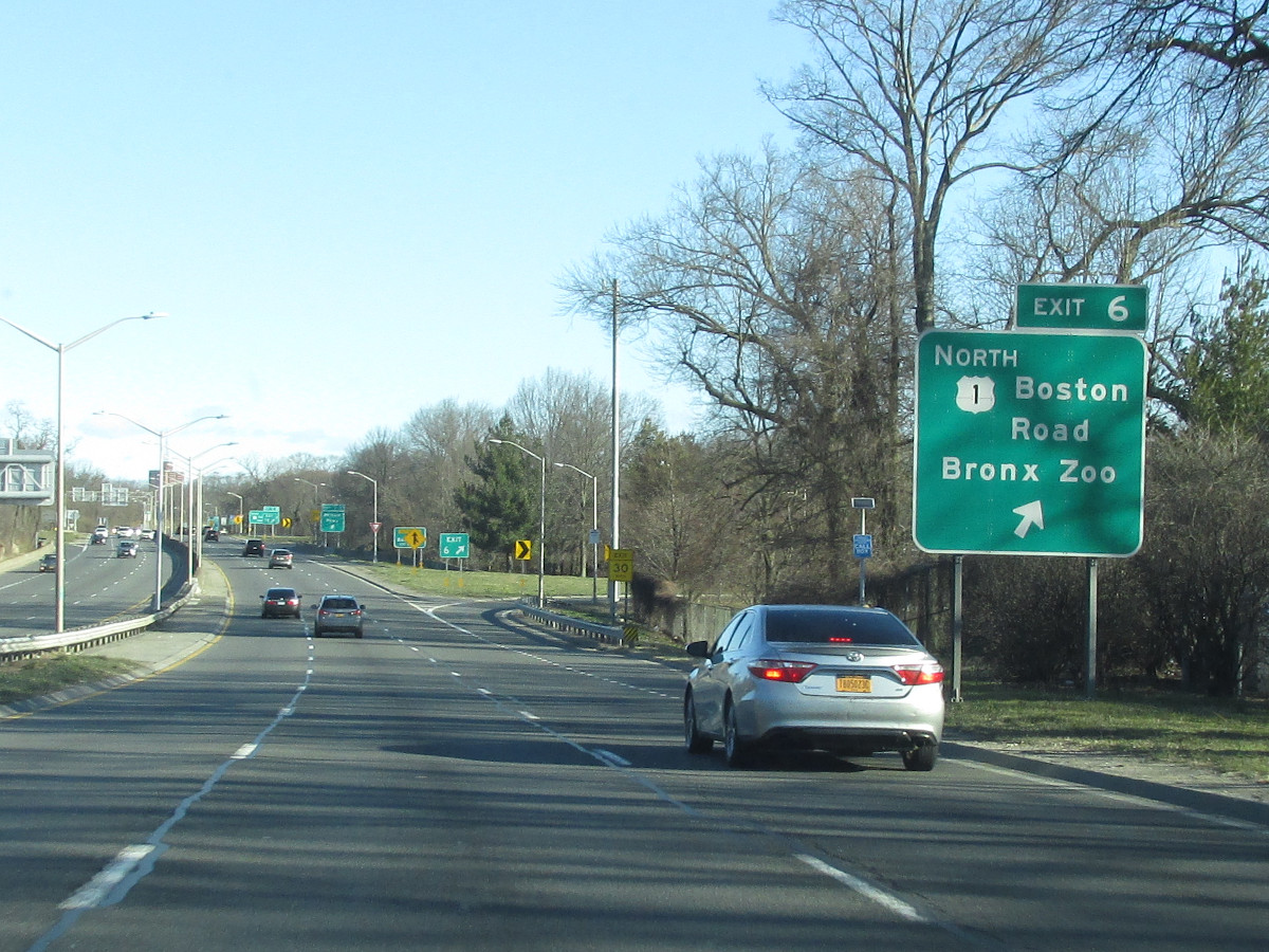
| 2.40 |  |
 |
|
 (Mark Sinsabaugh, 03/19/2023) |
 (Mark Sinsabaugh, 08/16/2015) |
||
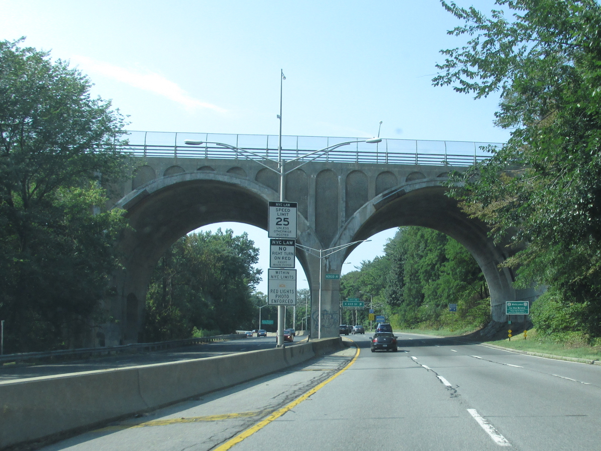
| 3.07 |  |
 |
|
 (Mark Sinsabaugh, 03/19/2023) |
 (Mark Sinsabaugh, 08/16/2015) |
||
| 3.92 |  |
 |
|
 (Mark Sinsabaugh, 03/19/2023) |
 (Mark Sinsabaugh, 08/16/2015) |
||
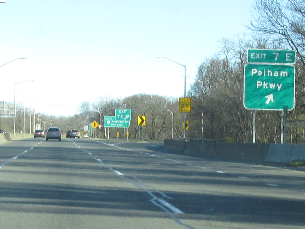
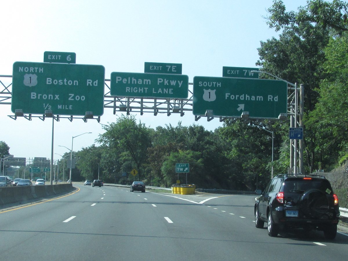
| 5.14 |  |
 |
. |
 (Mark Sinsabaugh, 03/19/2023) |
|||
| 5.59 | . |

 |
|
 (Mark Sinsabaugh, 03/19/2023) |
 (Mark Sinsabaugh, 08/16/2015) |
||
| 5.67 |  |
. |  |
| . |
 (Mark Sinsabaugh, 08/16/2015) |
||
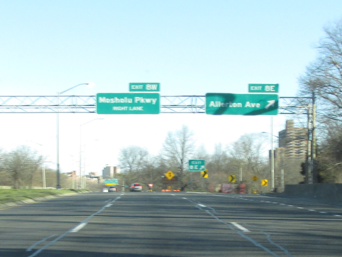
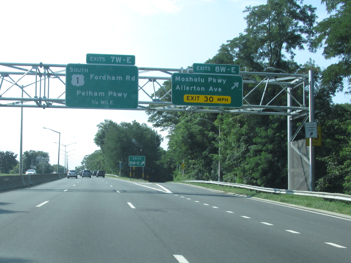
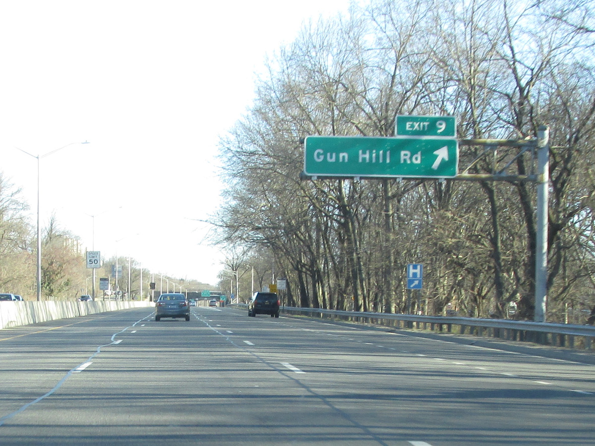
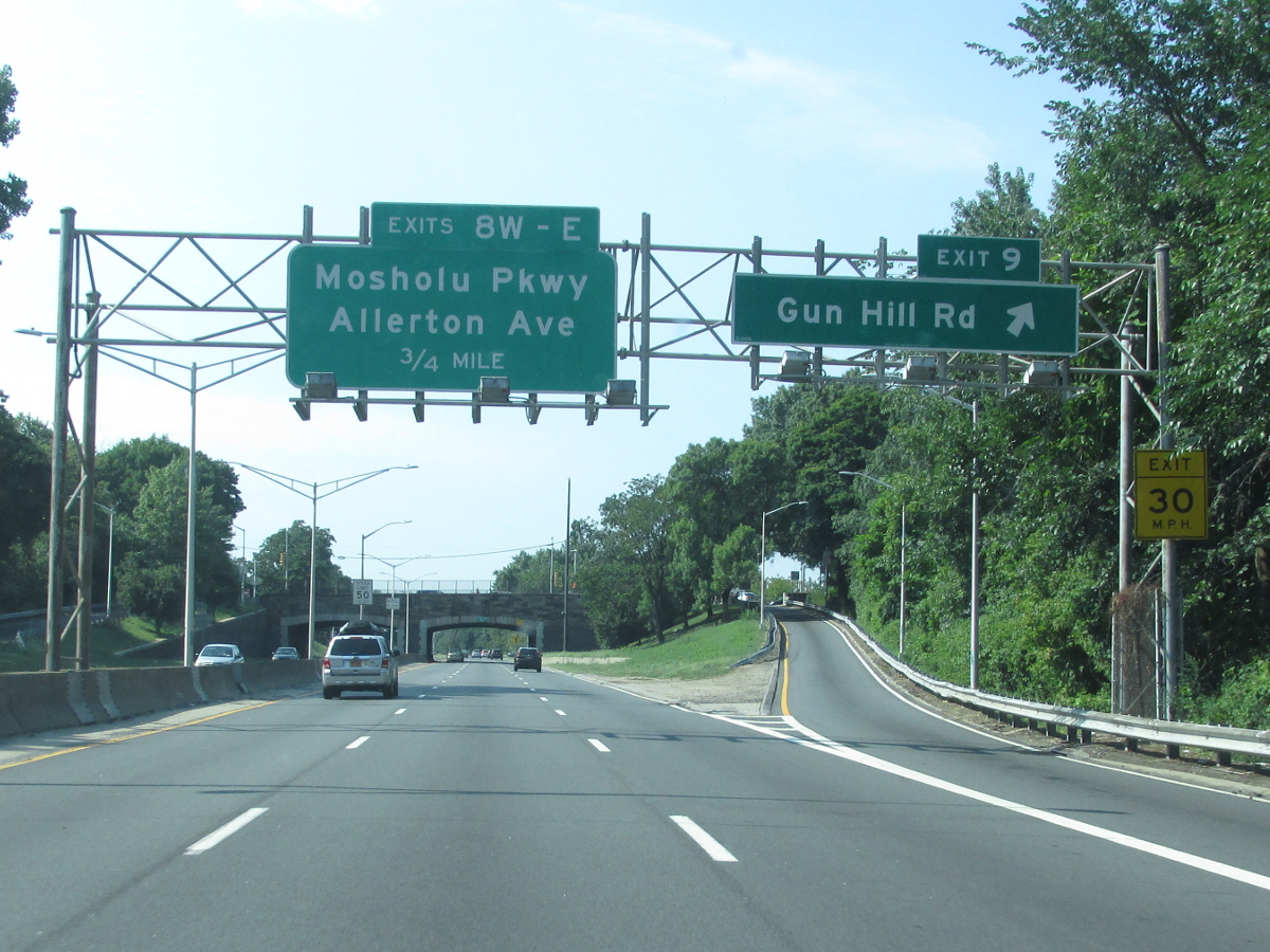
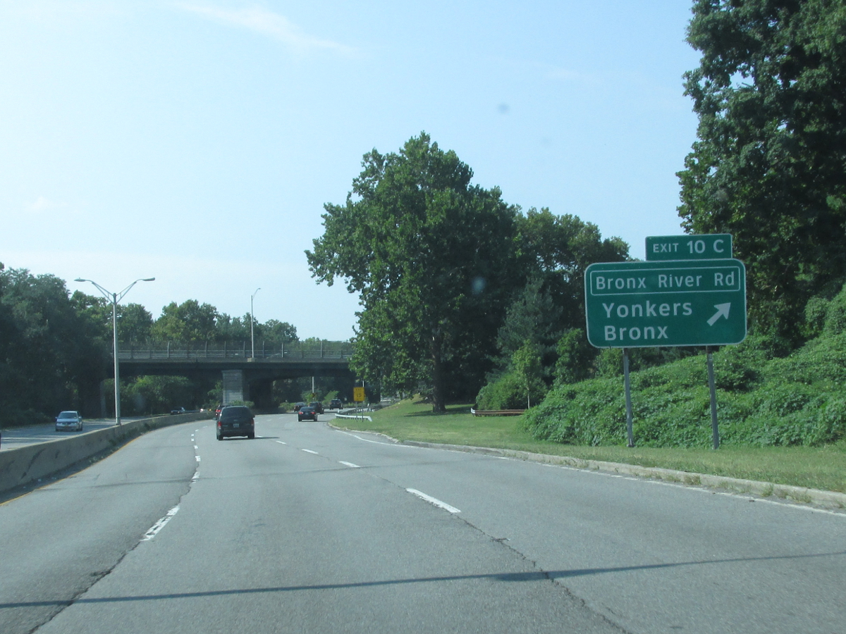
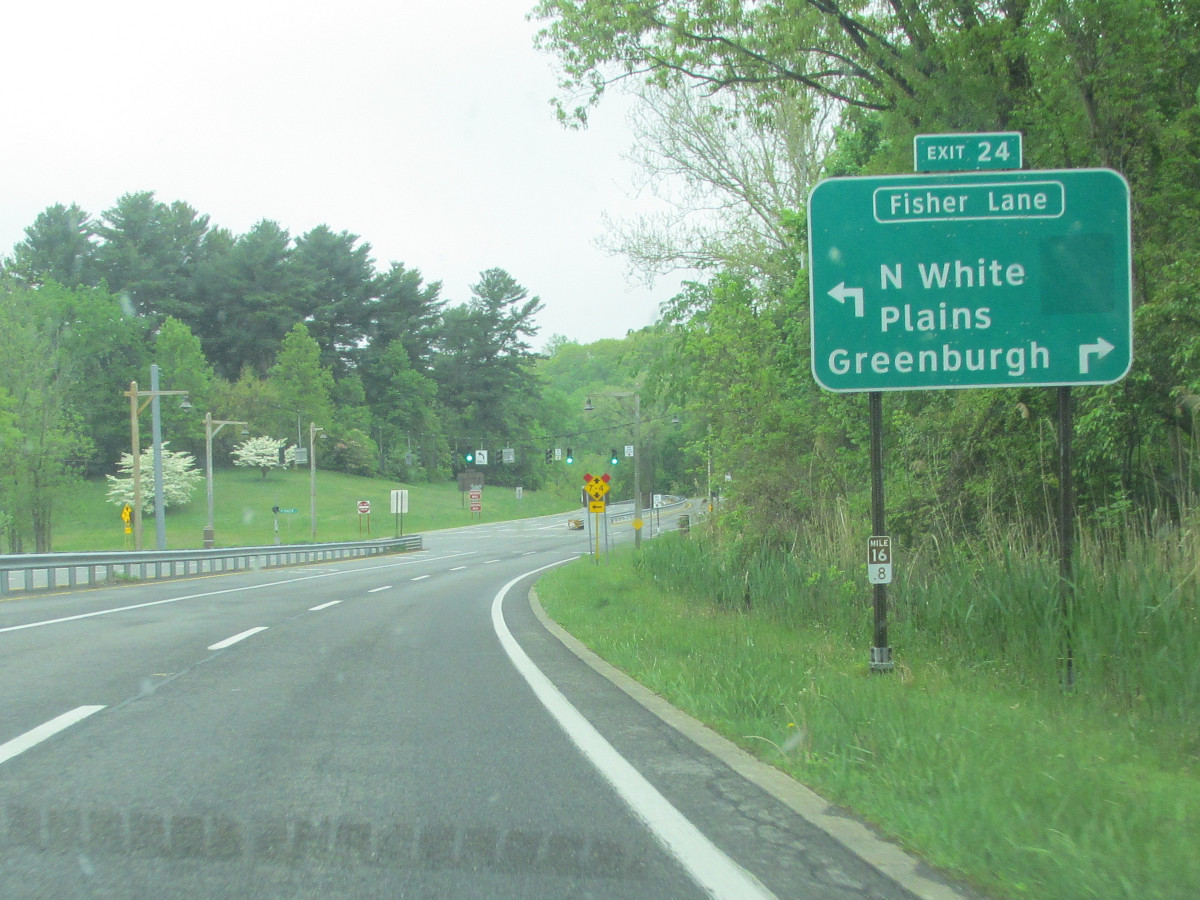
| 7.28 |  |
 |
|
 (Mark Sinsabaugh, 03/19/2023) |
 (Mark Sinsabaugh, 03/19/2023) |
||
| 8.55 |  |
 |
|
| 8.64 |  |
 |
. |
| 8.89 | |
 |
. |
| 9.65 | |
 |
. |
| 9.92 |  |
 |
|
| 10.11 | |
 |
|
| 10.41 | |
 |
|
| 11.15 | |
 |
|
| 11.85 | . | . |
|
| 11.87 | |
 |
|
| 12.56 | |
. | 
|
| 12.78 | . |
 |
. |
| 12.88 | |
. |  |
| 13.16 |  |
 |
. |
| 13.64 |  |
 |
. |
| 14.03 |  |
 |
. |
| 14.36 |  |
. |  |
| 14.52 | . | . |
|
| 15.08 |  |
 |
. |
| 15.24 | . |
 |
. |
| 15.46 |  |
 |
. |
| 16.06 |  |
 |
|
| 16.55 | |

|
|
| 16.65 | . | . |
|
| 17.22 | |
 |
|
| 17.84 | |
 |
|
 (Mark Sinsabaugh, 05/15/2022) |
|||
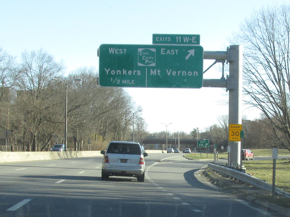
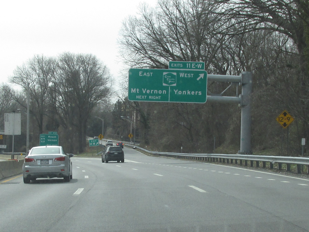
| 18.71 | |
 |
|
| 18.98 | |
 |
|
| 19.40 |  |
 |
. |
| 19.55 | |
 |
|
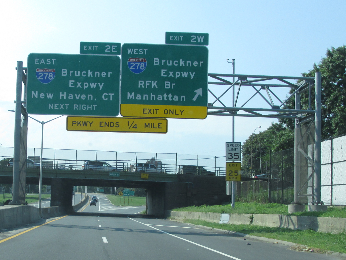
| 20.11 |
|

|
|
| . | . | . |
|

About |
Junction List |
Photos/Videos |
Links
|
No photos have been submitted.
If you have photos to submit, please contact us. |
About |
Junction List |
Photos/Videos |
Links
|
Alps Roads (Steve Alpert) East Coast Roads (David Golub) NYC Roads: Bronx River Parkway (Steve Anderson) Wikipedia: Bronx River Parkway |

|
 |

|

|
Page Created: February 4, 2017 | Page Updated: March 25, 2023