 |
New York 37B |
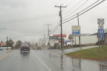
First westbound NY 37B reassurance marker.
|
About |
Junction List |
Photos/Videos |
Links |
| Western Terminus: | NY 37, Massena |
| Eastern Terminus: | NY 37, Massena |
| Length: | 4.03 miles (6.49 km) |
| Orientation: | East-West |
| Counties: | St. Lawrence |
| Cities: | None |
| Villages: | Massena |
| Towns: | Louisville, Massena |
| Name(s): | Maple St., Parker Ave., E. Orvis St. |
| History: |
NY 37B originally followed an alignment that began at NY 37 near Coles Creek State Park in Waddington. It followed the southern shore of the St. Lawrence River to Massena, ending at NY 37 at the west village line. In the late 1950s, upgrades to the St. Lawrence Seaway resulted in a realignment of the designation along what is now NY 131 as the original alignment was submerged. NY 37B would move to its current alignment around 1962. |
About |
Junction List |
Photos/Videos |
Links |
| Mile | Desc. |  |
 |
| . | . |  |
. |
| 0.00 | JCT
|
 |
|
| . |
 (George Bourey, 08/12/2020) |
||
| 1.31 | . |  |
. |
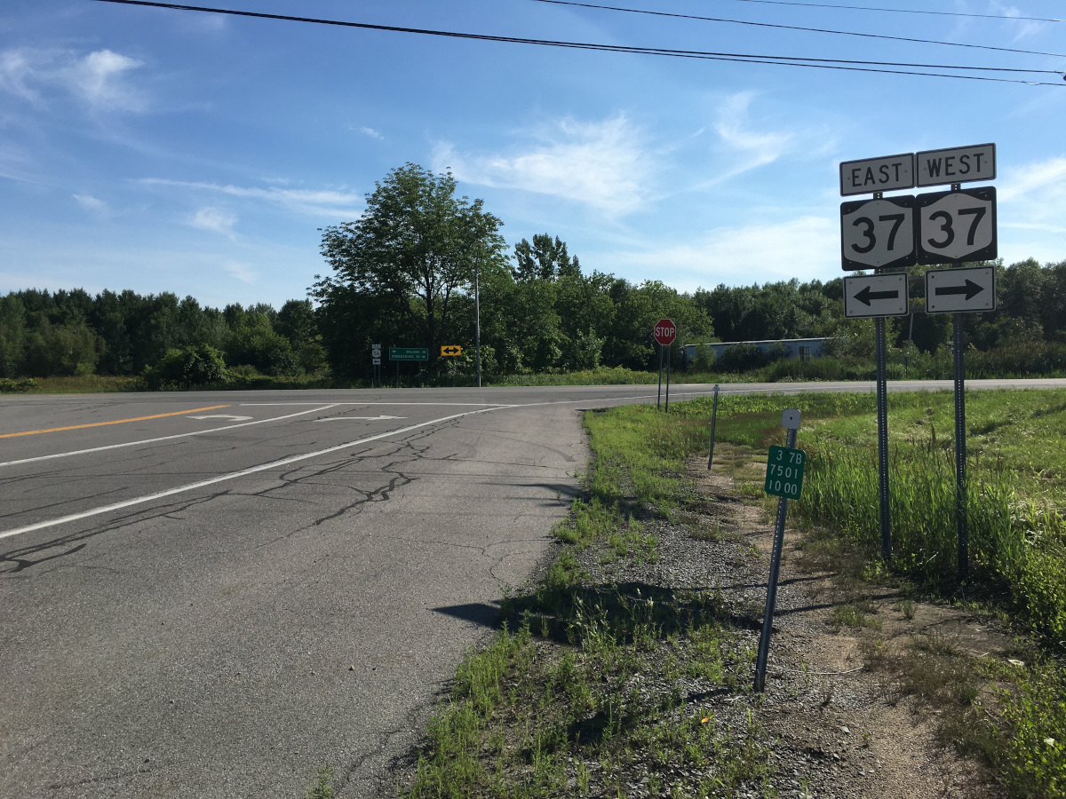
| 4.03 | JCT
|
|
|
 (George Bourey, 08/12/2020) |
. | ||
| . | . | . |
|

About |
Junction List |
Photos/Videos |
Links |
|
No photos have been submitted.
If you have photos to submit, please contact us. |
About |
Junction List |
Photos/Videos |
Links |


|

|
 |

|

|
Page Created: March 13, 2007 | Page Updated: March 13, 2022