 |
New York 258 |
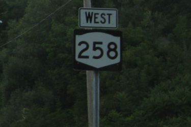
First westbound NY 258 reassurance marker in Groveland.
|
About |
Junction List |
Photos/Videos |
Links
| Western Terminus: | NY 36, Sonyea |
| Eastern Terminus: | NY 63, Groveland |
| Length: | 1.85 miles (2.98 km) |
| Orientation: | East-West |
| Counties: | Livingston |
| Cities: | None |
| Villages: | None |
| Towns: | Mount Morris |
| Name(s): | Flats Rd. |
| History: |
NY 258 originally extended west to NY 408 near Brooks Grove. NY 258 followed Livingston CR 3 to Tuscarora, then Presbyterian Rd. (Livingston CR 72) where the former extension meets the current western terminus at NY 36. NY 258 was reduced to its current alignment in 1995. |
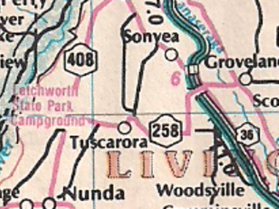
Scan from 1989 I Love New York Map Works New York
State Map showing the western extension of NY 258.
About |
Junction List |
Photos/Videos |
Links
| Mile | Desc. |  |
 |
| . | . |
 |
. |
| 0.00 | JCT
|
 |
|
| . |
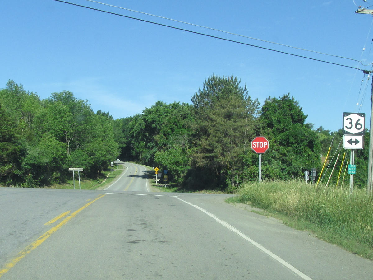 (Mark Sinsabaugh, 06/16/2018) |
||
| 1.85 | JCT
|
 |
|
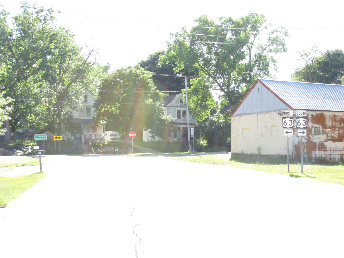 (Mark Sinsabaugh, 06/16/2018) |
. | ||
| . | . | . |
|

About |
Junction List |
Photos/Videos |
Links
|
No photos have been submitted.
If you have photos to submit, please contact us. |
About |
Junction List |
Photos/Videos |
Links
| Wikipedia: New York 258 |

|
 |

|

|
Page Created: July 28, 2006 | Page Updated: August 11, 2020